Print A Map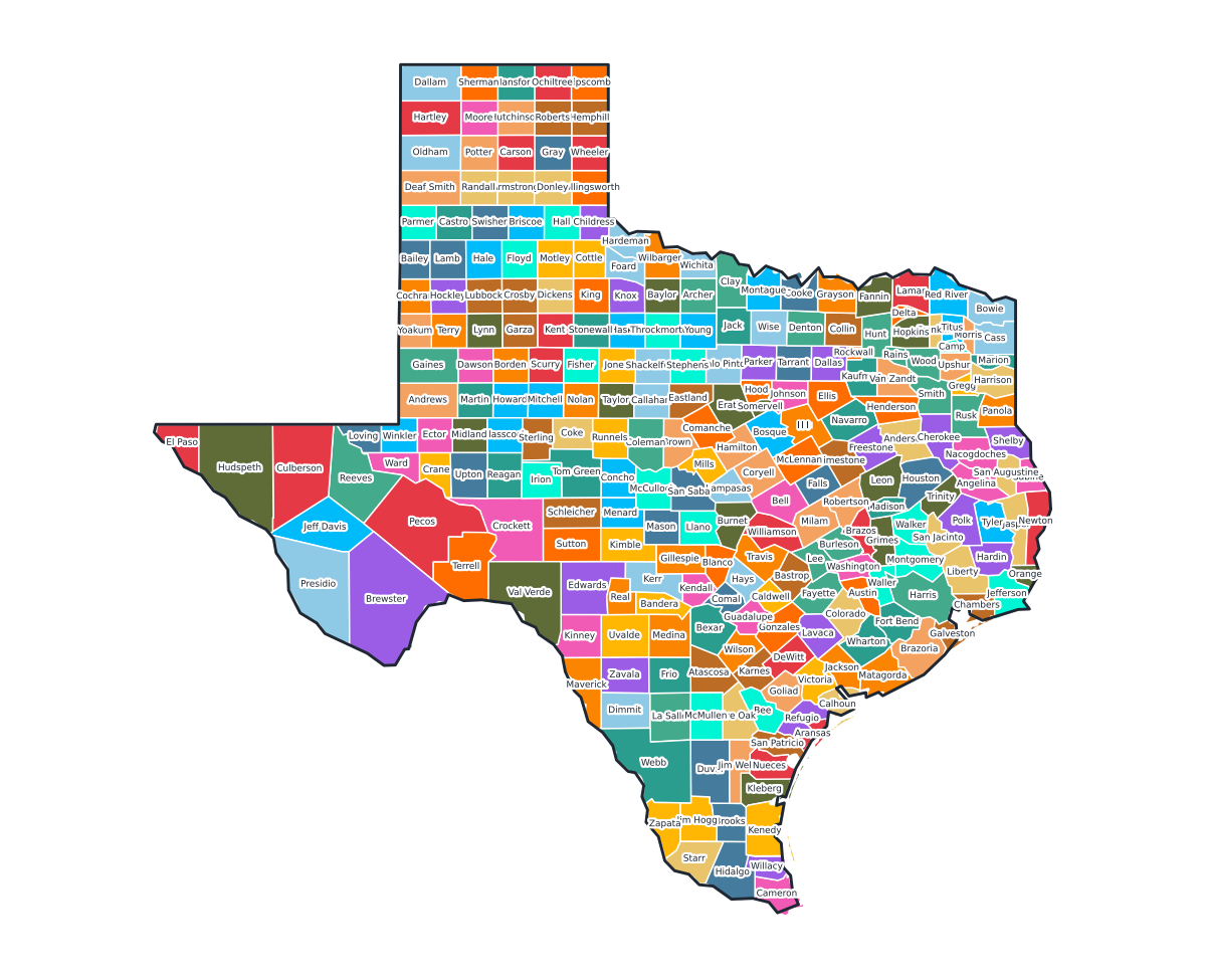
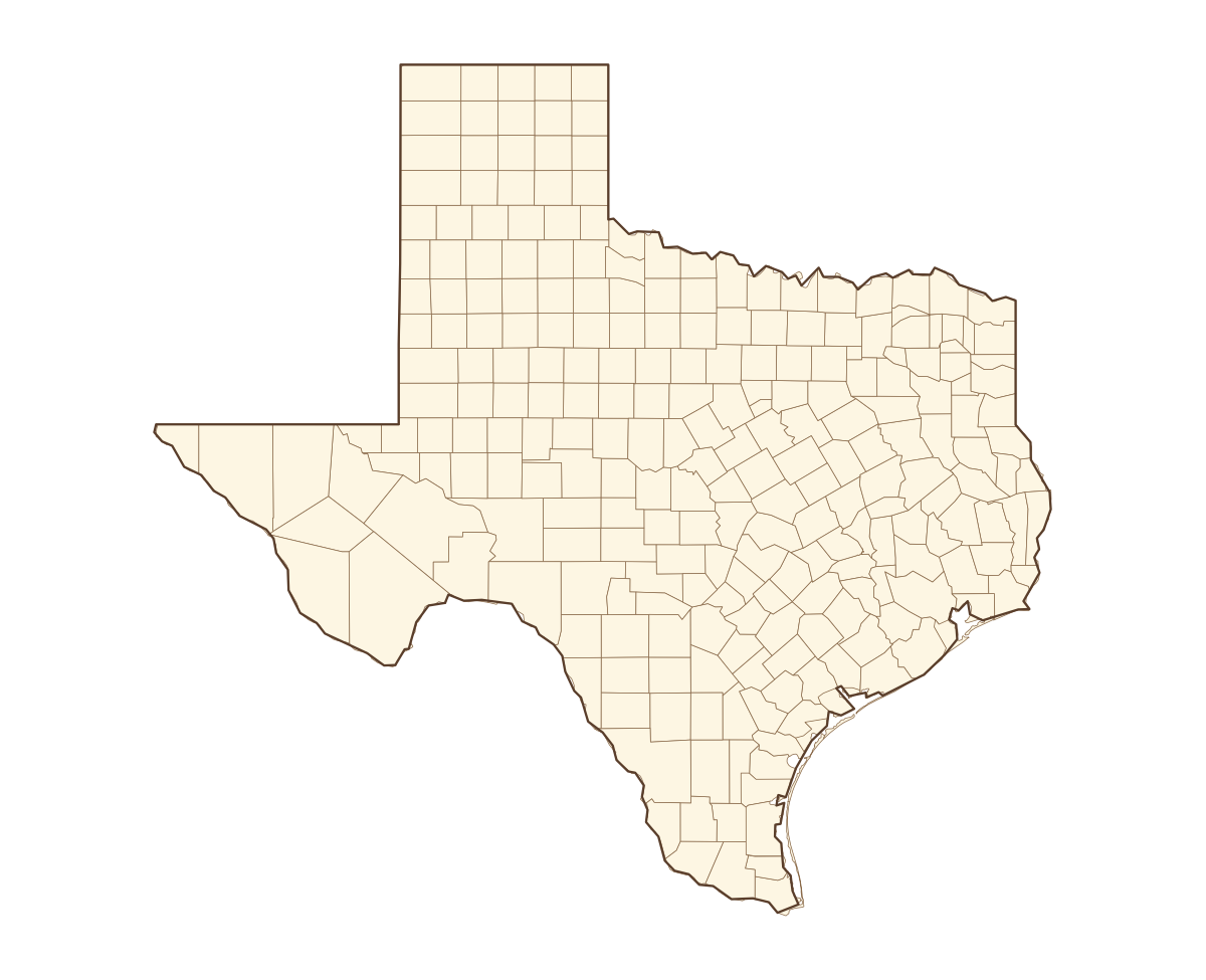
Texas Labeled County Map
A labeled printable map of Texas with all 254 counties shaded in distinct colors and individually named on the map: Anderson, Andrews, Angelina, Aransas, Archer, Armstrong, Atascosa, Austin, Bailey, Bandera, Bastrop, Baylor, Bee, Bell, Bexar, Blanco, Borden, Bosque, Bowie, Brazoria, Brazos, Brewster, Briscoe, Brooks, Brown, Burleson, Burnet, Caldwell, Calhoun, Callahan, Cameron, Camp, Carson, Cass, Castro, Chambers, Cherokee, Childress, Clay, Cochran, and 214 more. Useful for civics classes, redistricting reference, and real estate or insurance service-area lookups.
County-line maps like this one are widely used for civics and government classes, real estate and insurance service-area reference, and understanding local elections and redistricting.
⇩ Download Free PDF