Print A Map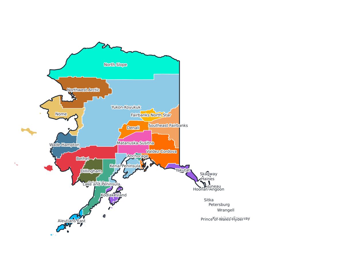
Alaska Labeled County Map
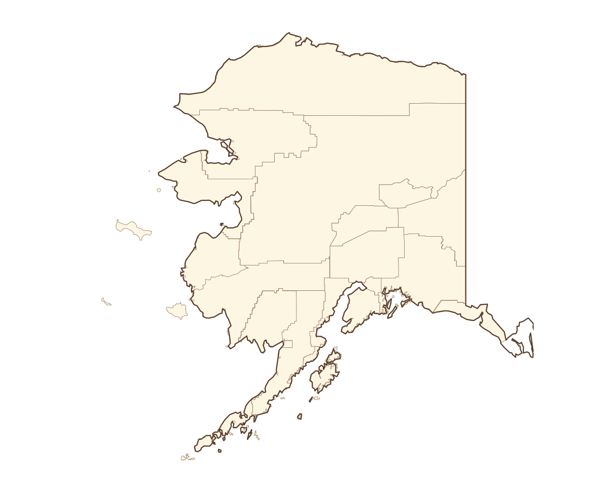
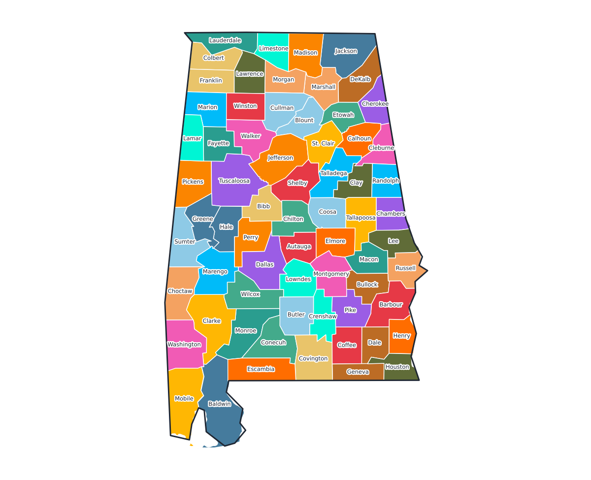
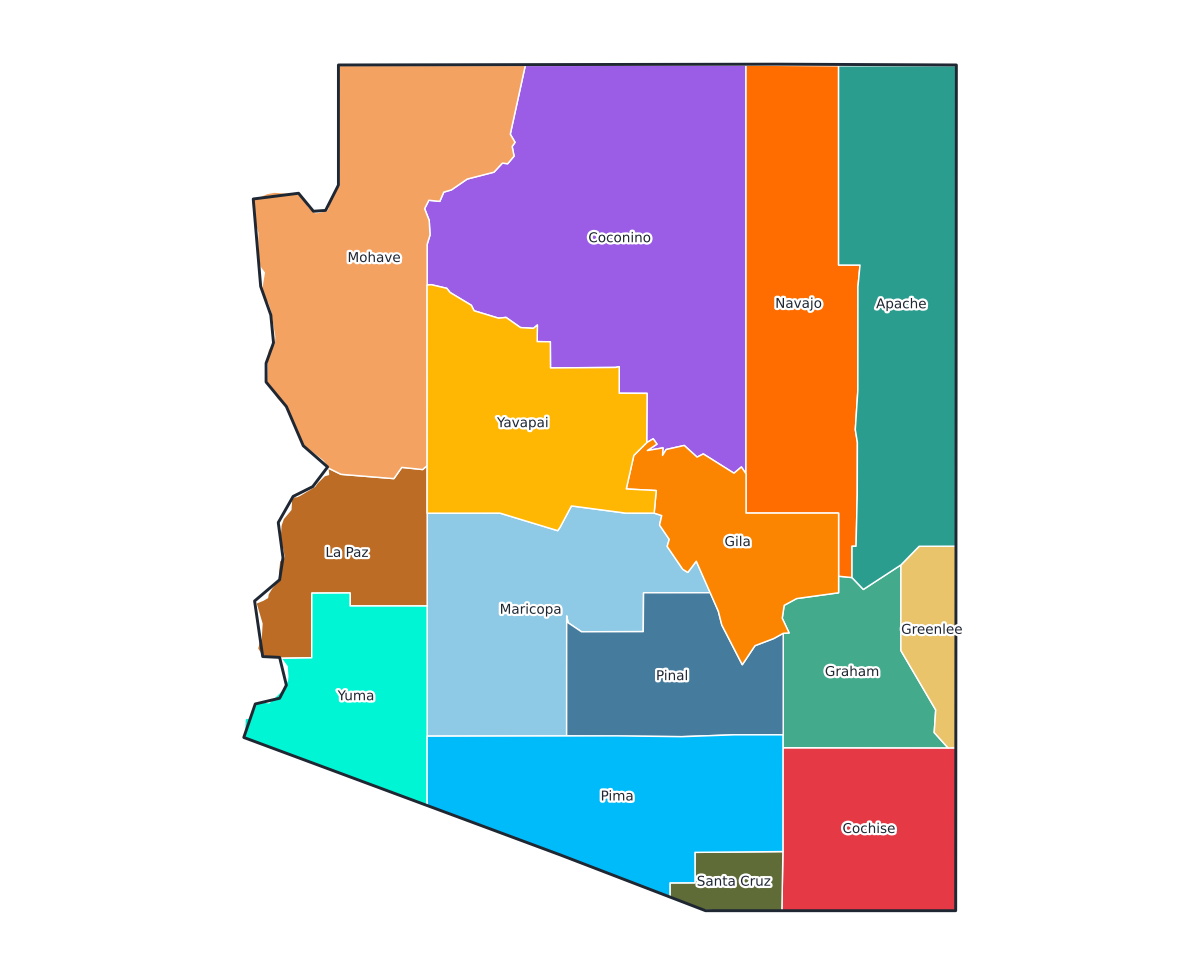
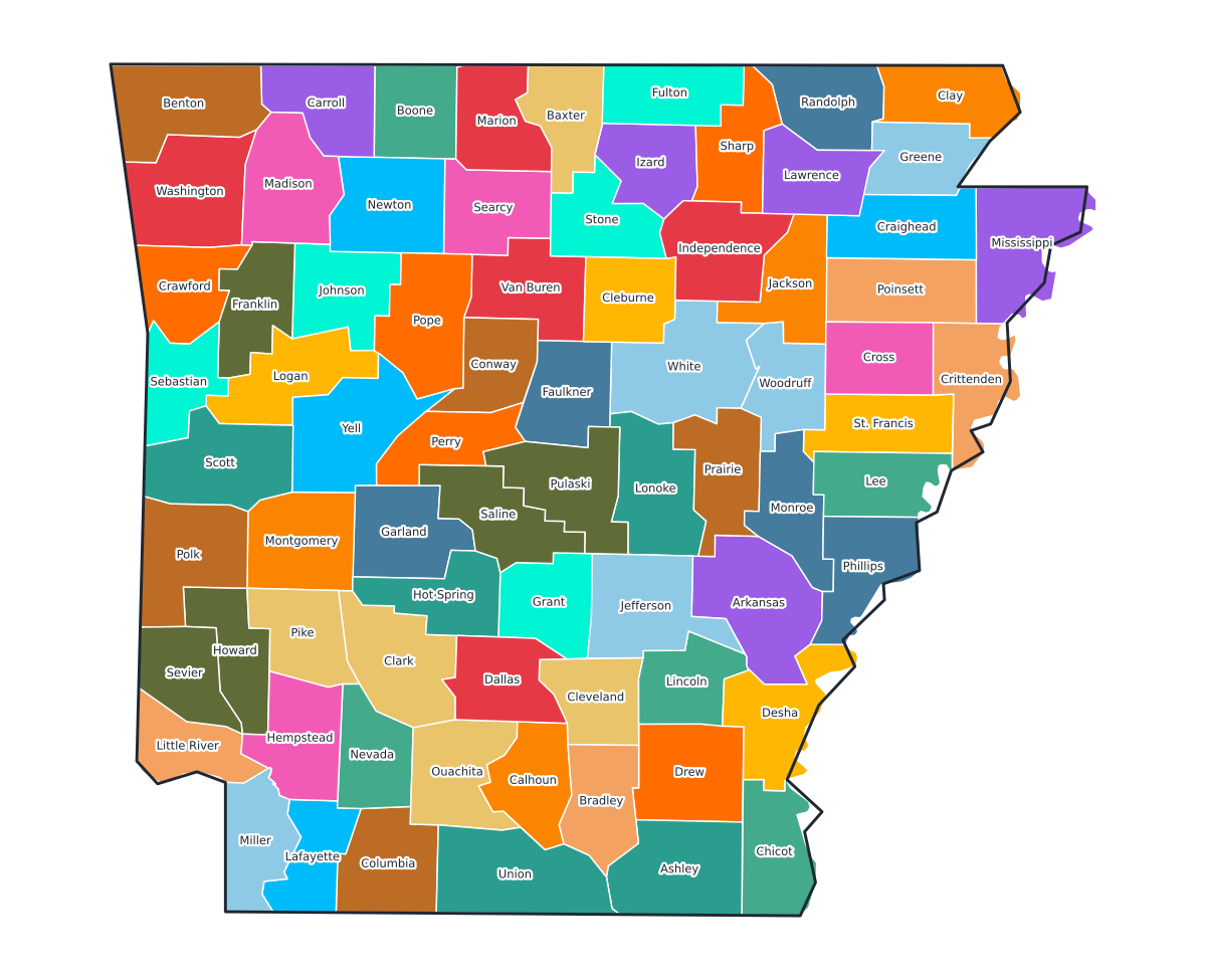
A labeled printable map of Alaska with all 29 counties shaded in distinct colors and individually named on the map: Aleutians East, Aleutians West, Anchorage, Bethel, Bristol Bay, Denali, Dillingham, Fairbanks North Star, Haines, Hoonah-Angoon, Juneau, Kenai Peninsula, Ketchikan Gateway, Kodiak Island, Lake and Peninsula, Matanuska-Susitna, Nome, North Slope, Northwest Arctic, Petersburg, Prince of Wales-Hyder, Sitka, Skagway, Southeast Fairbanks, Valdez-Cordova, Wade Hampton, Wrangell, Yakutat, and Yukon-Koyukuk. Useful for civics classes, redistricting reference, and real estate or insurance service-area lookups.
County-line maps like this one are widely used for civics and government classes, real estate and insurance service-area reference, and understanding local elections and redistricting.
⇩ Download Free PDF