Print A Map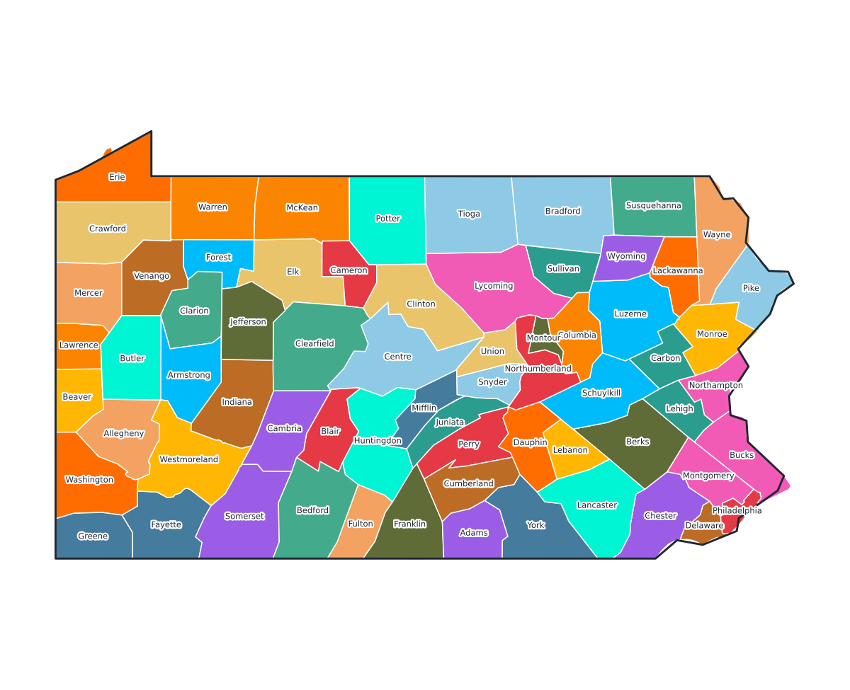
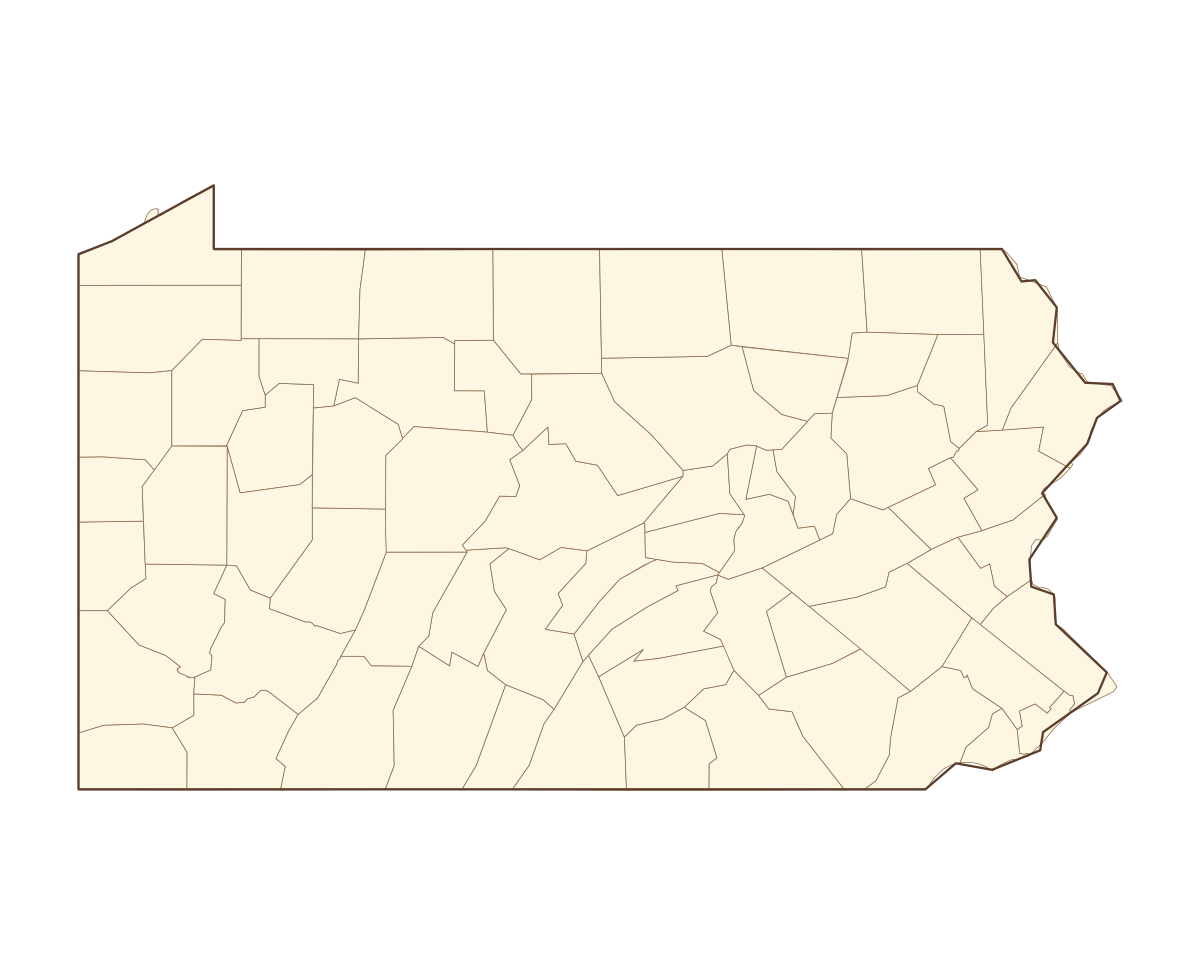
Pennsylvania Labeled County Map
A labeled printable map of Pennsylvania with all 67 counties shaded in distinct colors and individually named on the map: Adams, Allegheny, Armstrong, Beaver, Bedford, Berks, Blair, Bradford, Bucks, Butler, Cambria, Cameron, Carbon, Centre, Chester, Clarion, Clearfield, Clinton, Columbia, Crawford, Cumberland, Dauphin, Delaware, Elk, Erie, Fayette, Forest, Franklin, Fulton, Greene, Huntingdon, Indiana, Jefferson, Juniata, Lackawanna, Lancaster, Lawrence, Lebanon, Lehigh, Luzerne, and 27 more. Useful for civics classes, redistricting reference, and real estate or insurance service-area lookups.
County-line maps like this one are widely used for civics and government classes, real estate and insurance service-area reference, and understanding local elections and redistricting.
⇩ Download Free PDF