Print A Map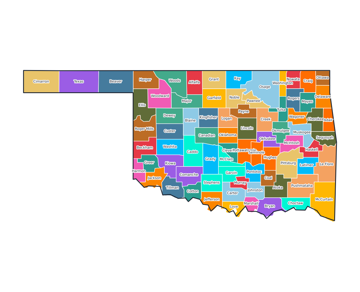
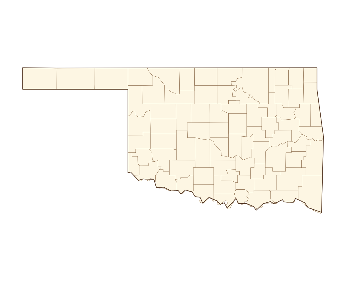
Oklahoma Labeled County Map
A labeled printable map of Oklahoma with all 77 counties shaded in distinct colors and individually named on the map: Adair, Alfalfa, Atoka, Beaver, Beckham, Blaine, Bryan, Caddo, Canadian, Carter, Cherokee, Choctaw, Cimarron, Cleveland, Coal, Comanche, Cotton, Craig, Creek, Custer, Delaware, Dewey, Ellis, Garfield, Garvin, Grady, Grant, Greer, Harmon, Harper, Haskell, Hughes, Jackson, Jefferson, Johnston, Kay, Kingfisher, Kiowa, Latimer, Le Flore, and 37 more. Useful for civics classes, redistricting reference, and real estate or insurance service-area lookups.
County-line maps like this one are widely used for civics and government classes, real estate and insurance service-area reference, and understanding local elections and redistricting.
⇩ Download Free PDF