Print A Map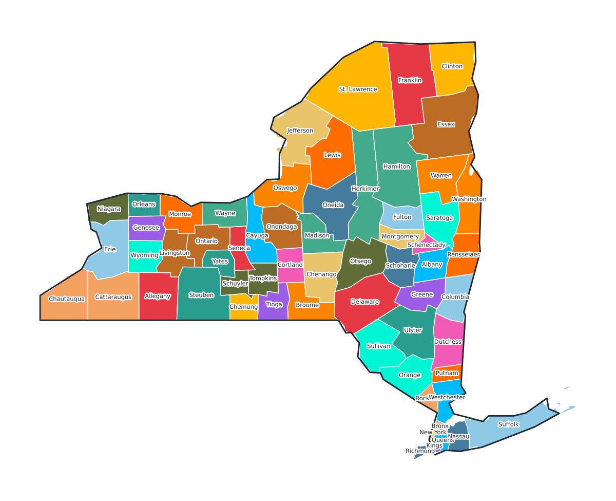
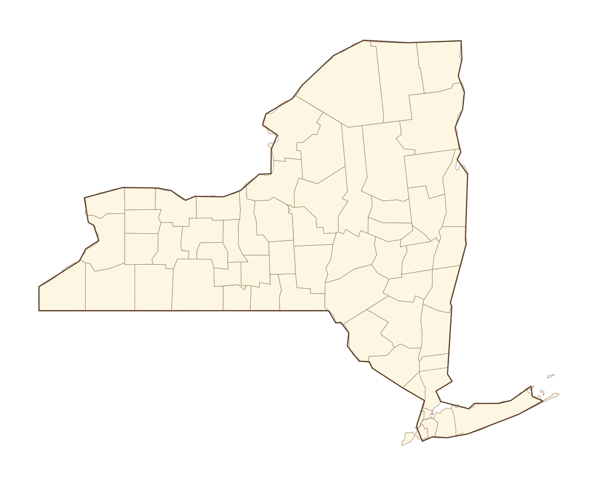
New York Labeled County Map
A labeled printable map of New York with all 62 counties shaded in distinct colors and individually named on the map: Albany, Allegany, Bronx, Broome, Cattaraugus, Cayuga, Chautauqua, Chemung, Chenango, Clinton, Columbia, Cortland, Delaware, Dutchess, Erie, Essex, Franklin, Fulton, Genesee, Greene, Hamilton, Herkimer, Jefferson, Kings, Lewis, Livingston, Madison, Monroe, Montgomery, Nassau, New York, Niagara, Oneida, Onondaga, Ontario, Orange, Orleans, Oswego, Otsego, Putnam, and 22 more. Useful for civics classes, redistricting reference, and real estate or insurance service-area lookups.
County-line maps like this one are widely used for civics and government classes, real estate and insurance service-area reference, and understanding local elections and redistricting.
⇩ Download Free PDF