Print A Map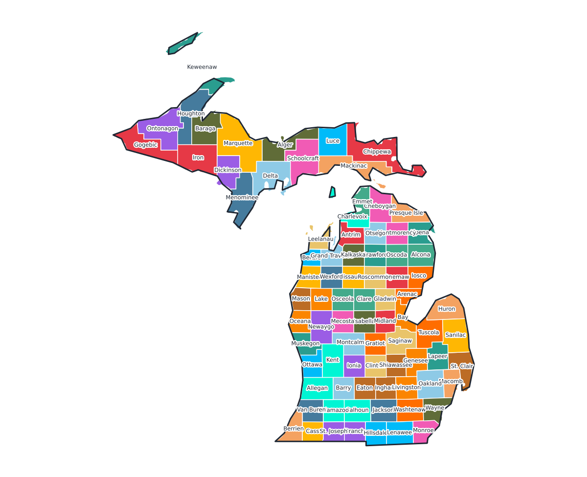
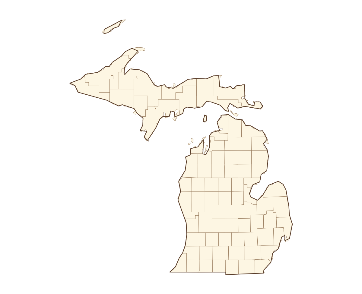
Michigan Labeled County Map
A labeled printable map of Michigan with all 83 counties shaded in distinct colors and individually named on the map: Alcona, Alger, Allegan, Alpena, Antrim, Arenac, Baraga, Barry, Bay, Benzie, Berrien, Branch, Calhoun, Cass, Charlevoix, Cheboygan, Chippewa, Clare, Clinton, Crawford, Delta, Dickinson, Eaton, Emmet, Genesee, Gladwin, Gogebic, Grand Traverse, Gratiot, Hillsdale, Houghton, Huron, Ingham, Ionia, Iosco, Iron, Isabella, Jackson, Kalamazoo, Kalkaska, and 43 more. Useful for civics classes, redistricting reference, and real estate or insurance service-area lookups.
County-line maps like this one are widely used for civics and government classes, real estate and insurance service-area reference, and understanding local elections and redistricting.
⇩ Download Free PDF