Print A Map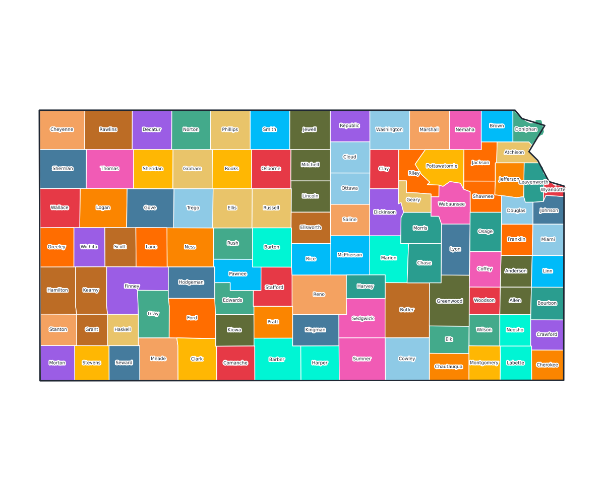
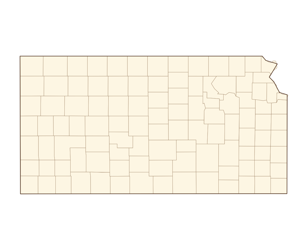
Kansas Labeled County Map
A labeled printable map of Kansas with all 105 counties shaded in distinct colors and individually named on the map: Allen, Anderson, Atchison, Barber, Barton, Bourbon, Brown, Butler, Chase, Chautauqua, Cherokee, Cheyenne, Clark, Clay, Cloud, Coffey, Comanche, Cowley, Crawford, Decatur, Dickinson, Doniphan, Douglas, Edwards, Elk, Ellis, Ellsworth, Finney, Ford, Franklin, Geary, Gove, Graham, Grant, Gray, Greeley, Greenwood, Hamilton, Harper, Harvey, and 65 more. Useful for civics classes, redistricting reference, and real estate or insurance service-area lookups.
County-line maps like this one are widely used for civics and government classes, real estate and insurance service-area reference, and understanding local elections and redistricting.
⇩ Download Free PDF