Print A Map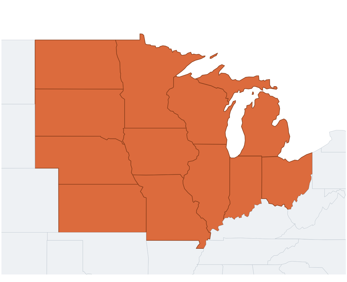
Midwest Region Map
regionblank
A map of the Midwest region of the United States, highlighting the 12 states that make up this commonly-referenced region: Illinois, Indiana, Michigan, Ohio, Wisconsin, Iowa, Kansas, Minnesota, Missouri, Nebraska, North Dakota, South Dakota.
Region maps like this one are useful for understanding how states group together culturally and geographically — handy for regional trip planning, business territory maps, and geography lessons that go beyond individual states.
⇩ Download Free PDF