Print A Map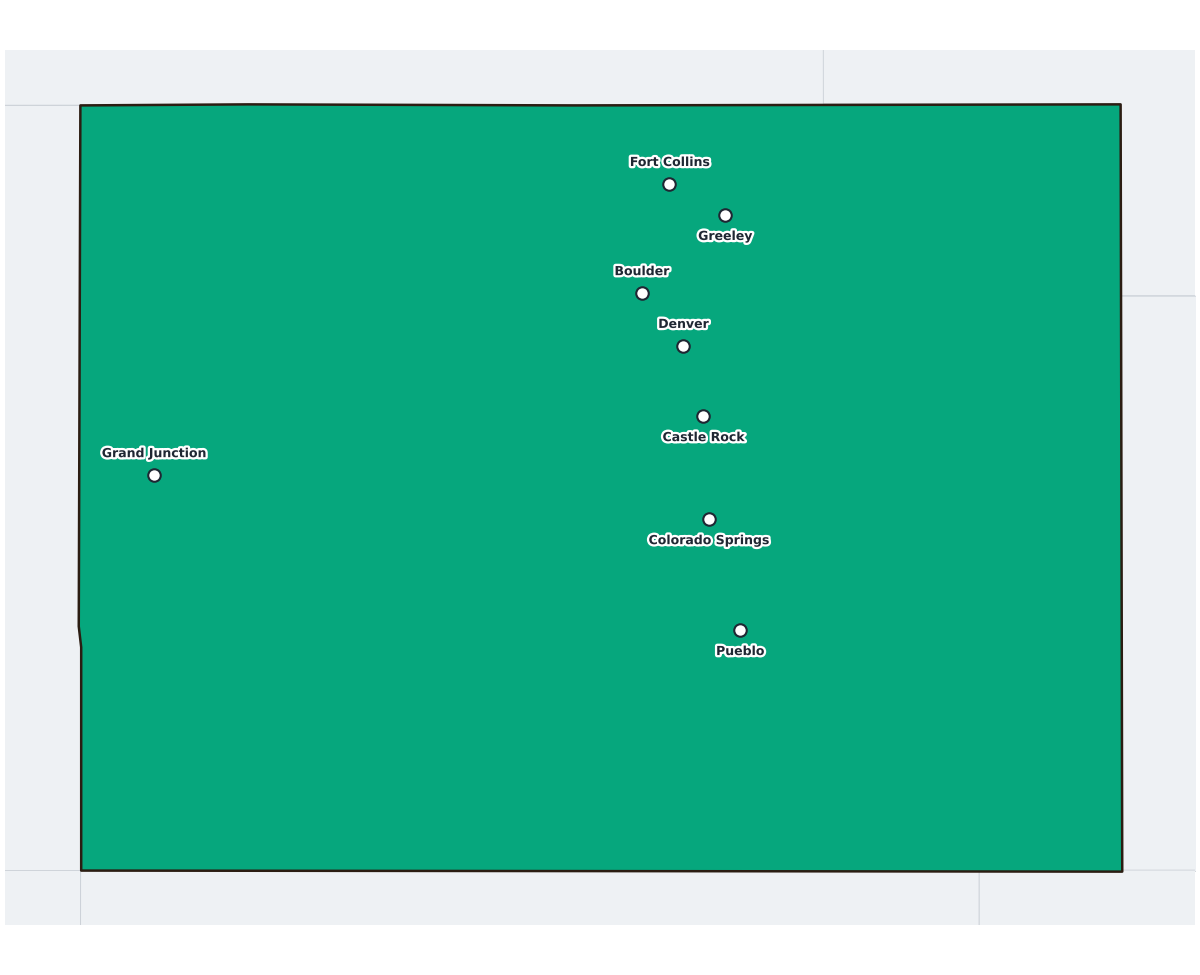
Colorado Labeled Map
statelabeled
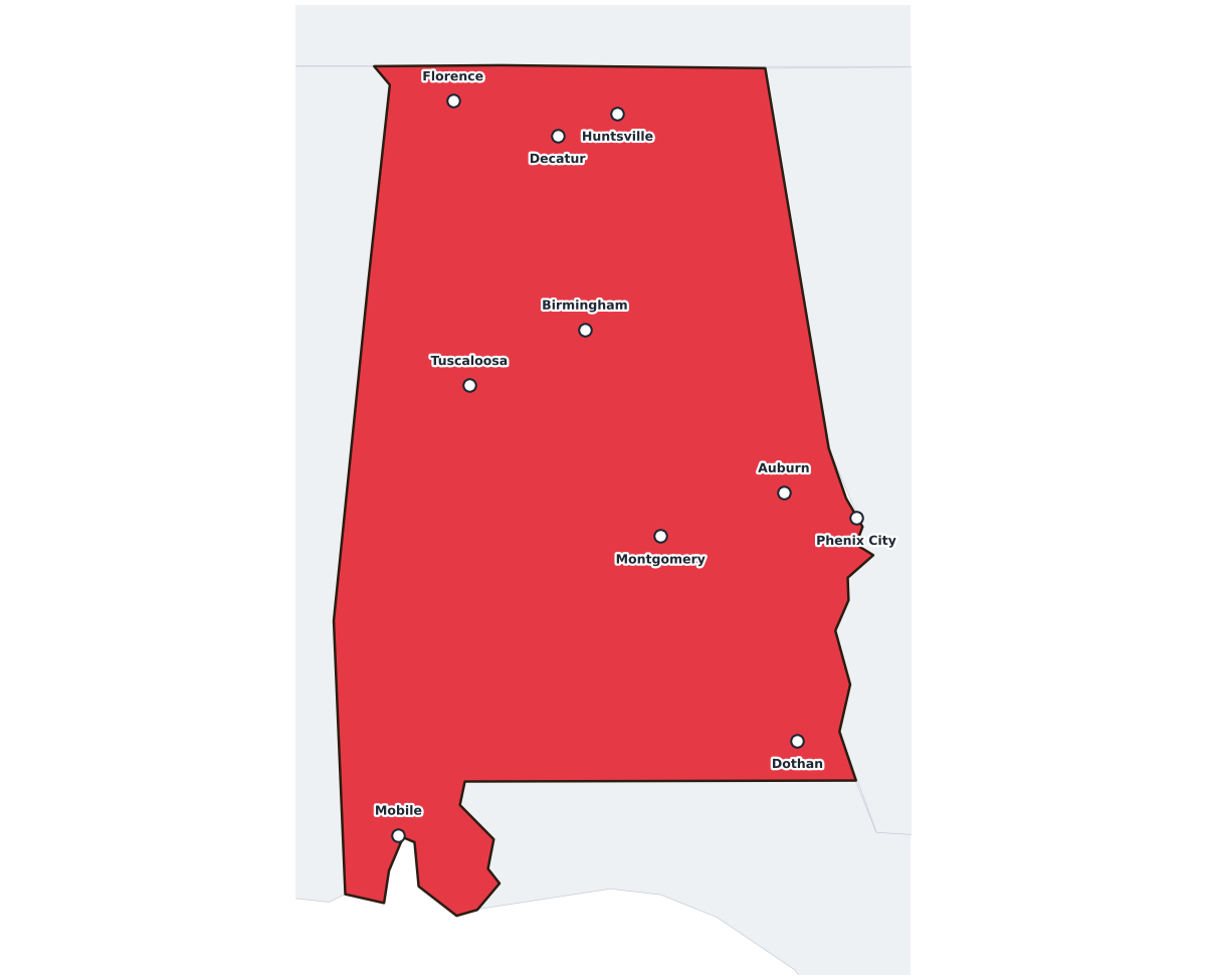
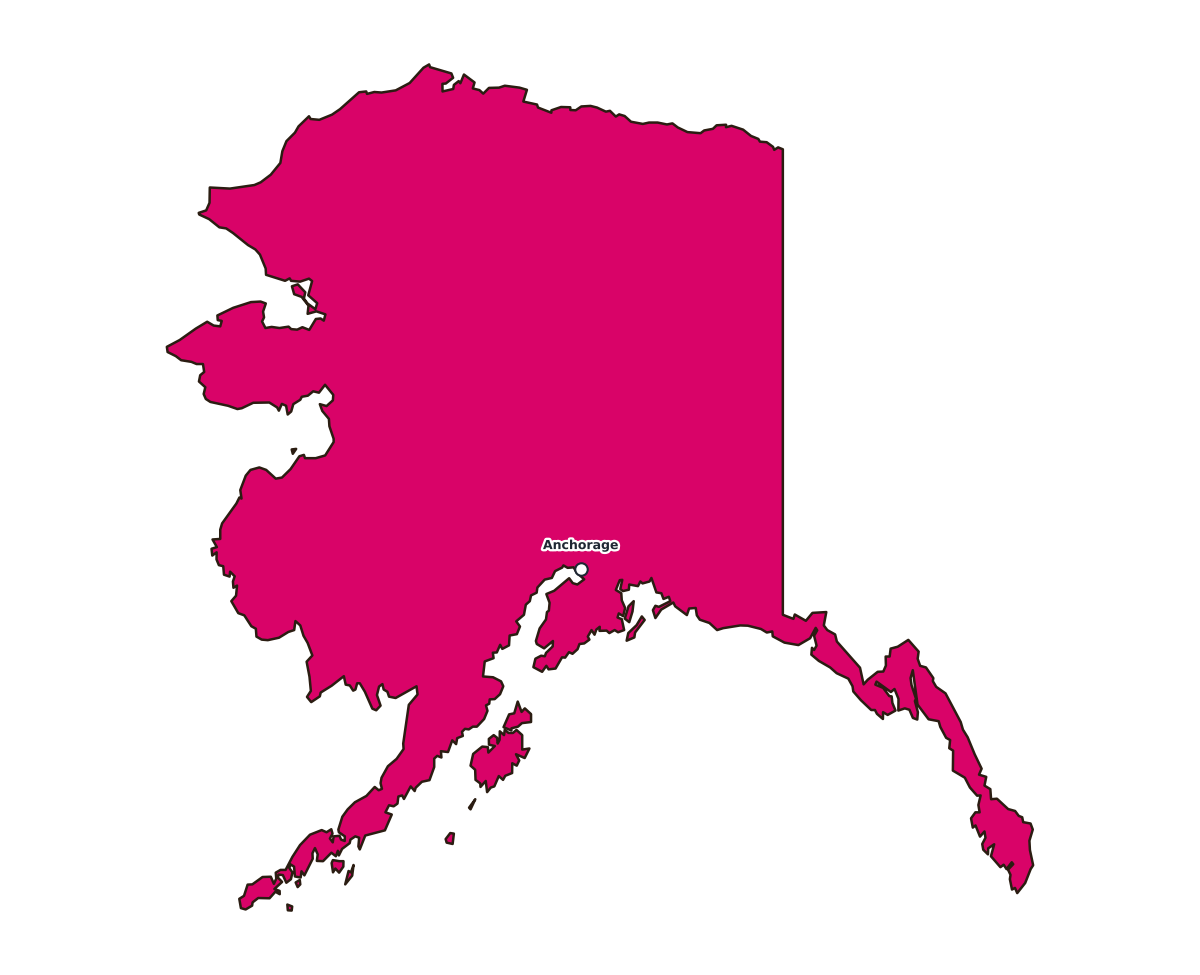
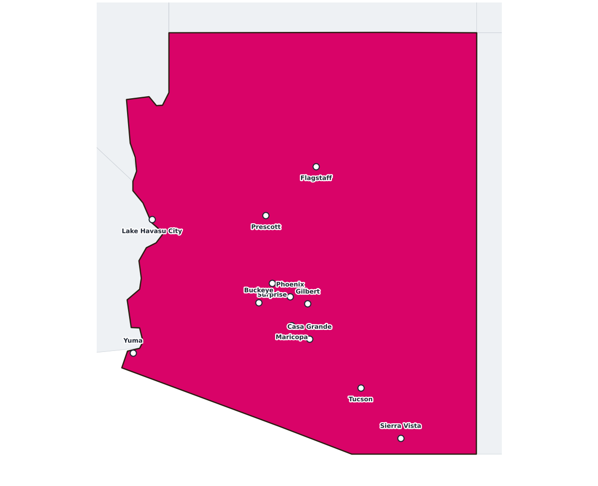
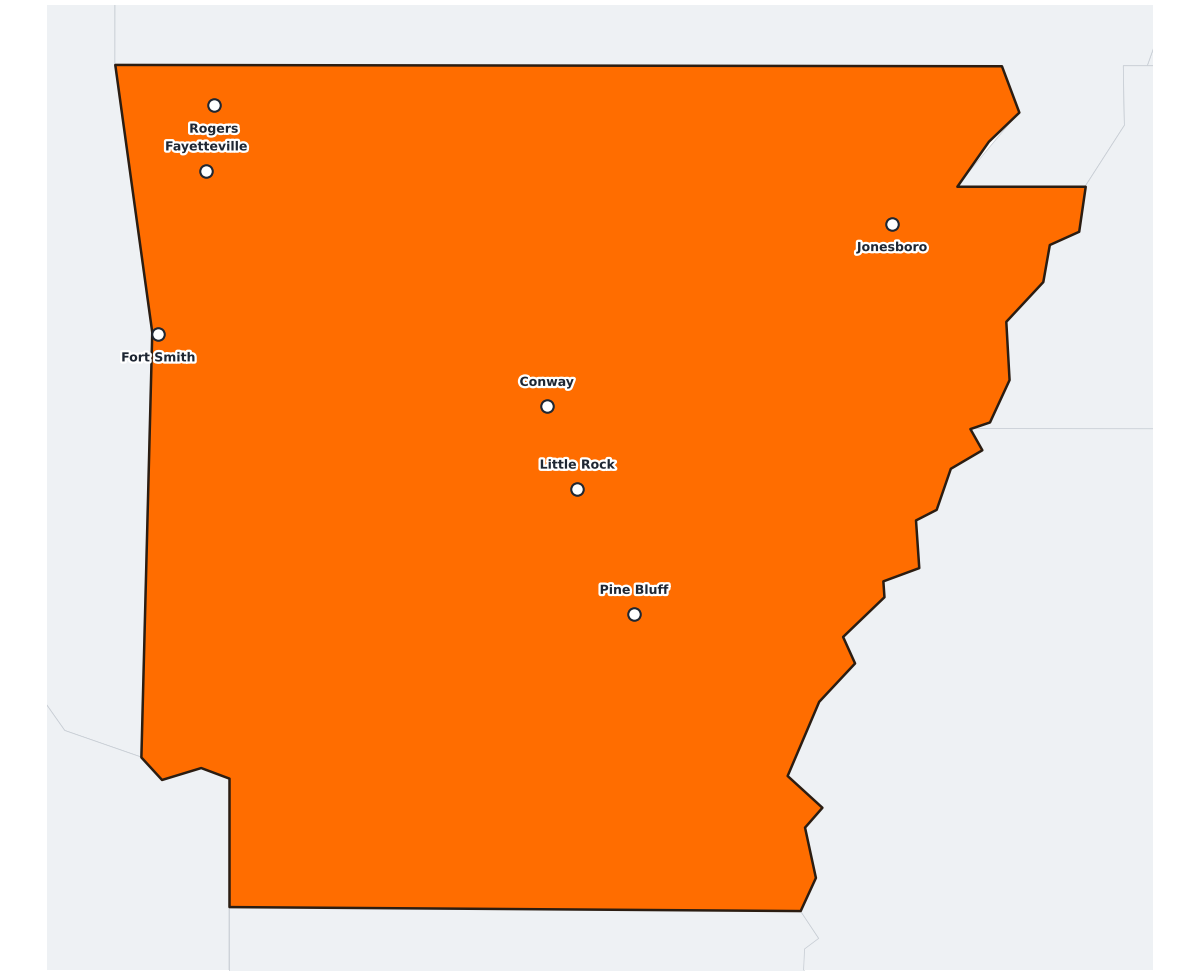
A labeled printable map of Colorado with its major cities marked and individually named. Major cities labeled on the map include Denver, Colorado Springs, Fort Collins, Pueblo, Boulder, Greeley, Grand Junction, and Castle Rock. Useful for geography lessons, road-trip planning, and classroom reference beyond a plain outline map.
This map is commonly used for state geography lessons, road-trip planning, and as a base map for marking cities, parks, or regional data.
⇩ Download Free PDF