 Print A Map
Oceania Maps
Free printable maps of Oceania, including blank and labeled maps of the continent as a whole, plus a dedicated outline map for every country in Oceania.
Oceania includes Australia, New Zealand, and a wide scatter of Pacific island nations across Melanesia, Micronesia, and Polynesia. Because many of these island countries are small and easy to overlook, the labeled continent map below is a useful way to see how they're positioned relative to Australia and to each other.
Oceania continent maps
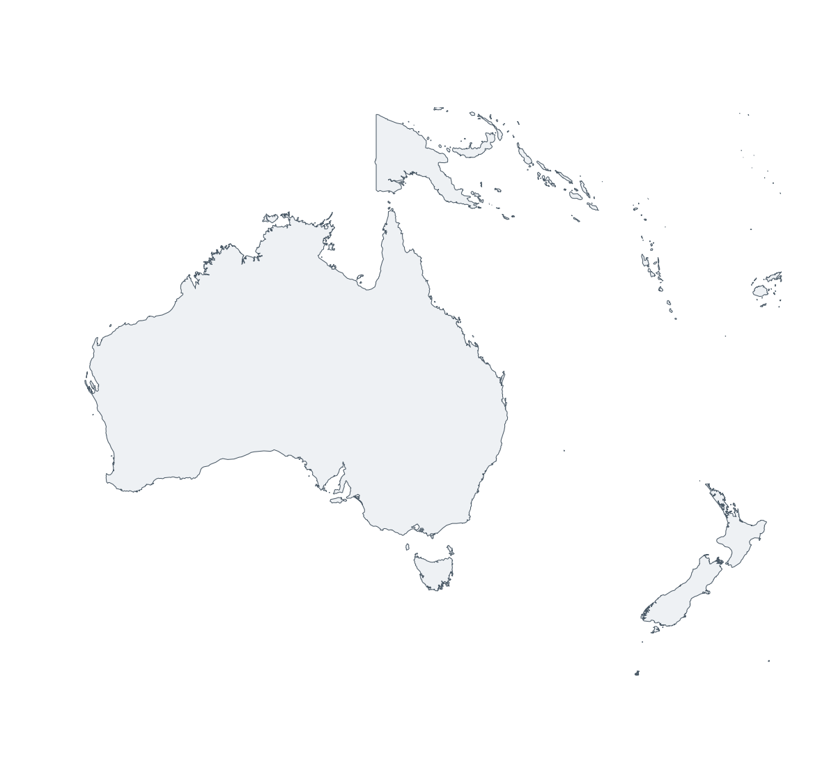
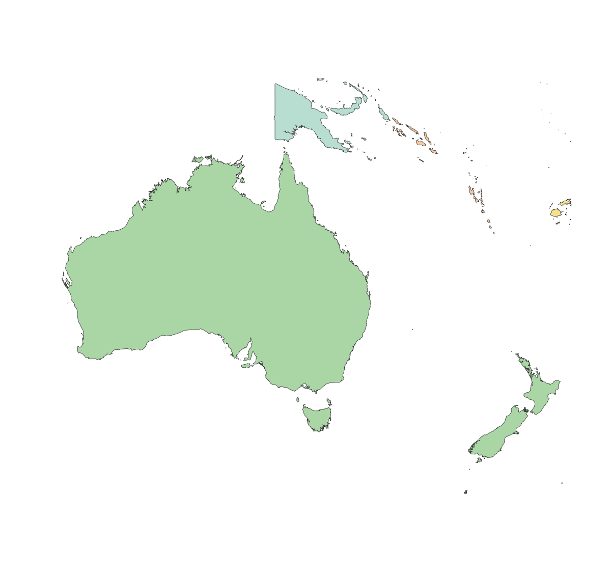
Countries in Oceania (48)
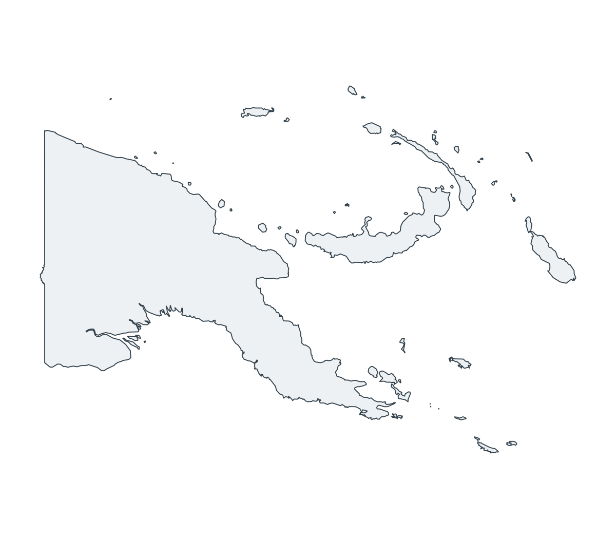
Papua New Guinea Outline Map
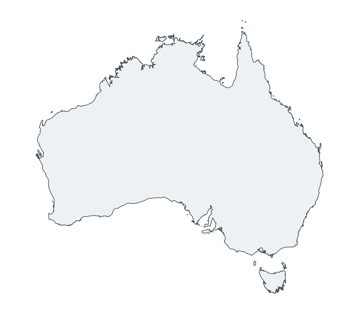
Australia Outline Map
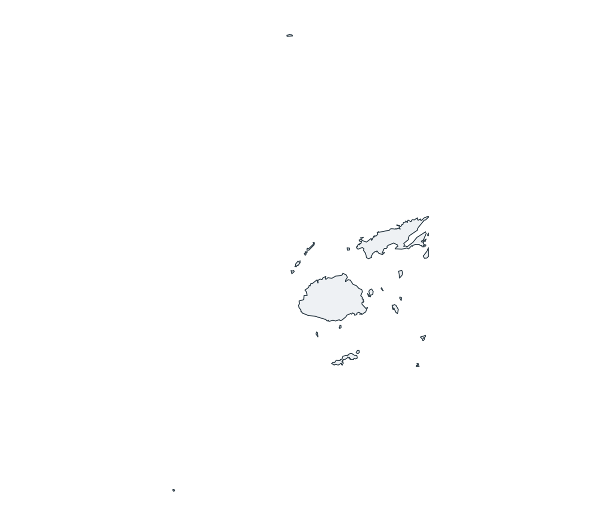
Fiji Outline Map
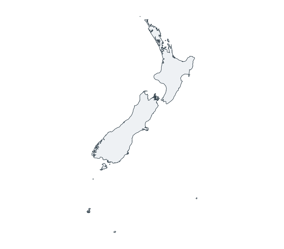
New Zealand Outline Map
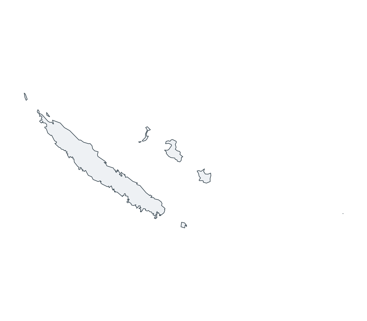
New Caledonia Outline Map

Pitcairn Islands Outline Map

French Polynesia Outline Map

Kiribati Outline Map

Marshall Islands Outline Map
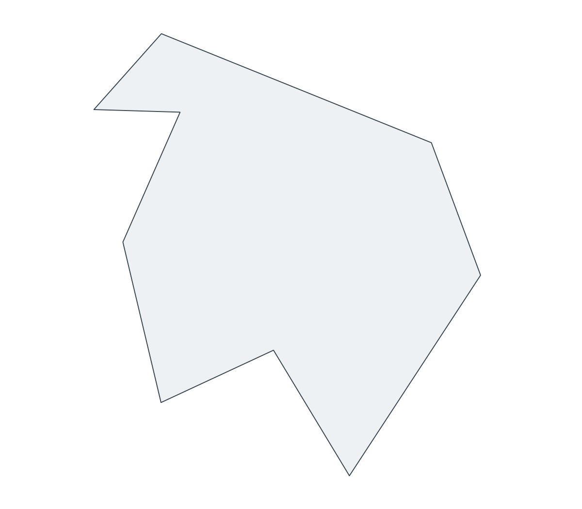
Norfolk Island Outline Map

Cook Islands Outline Map

Tonga Outline Map

Wallis and Futuna Outline Map
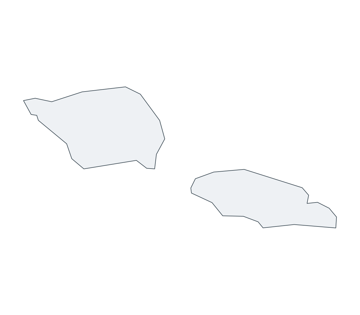
Samoa Outline Map
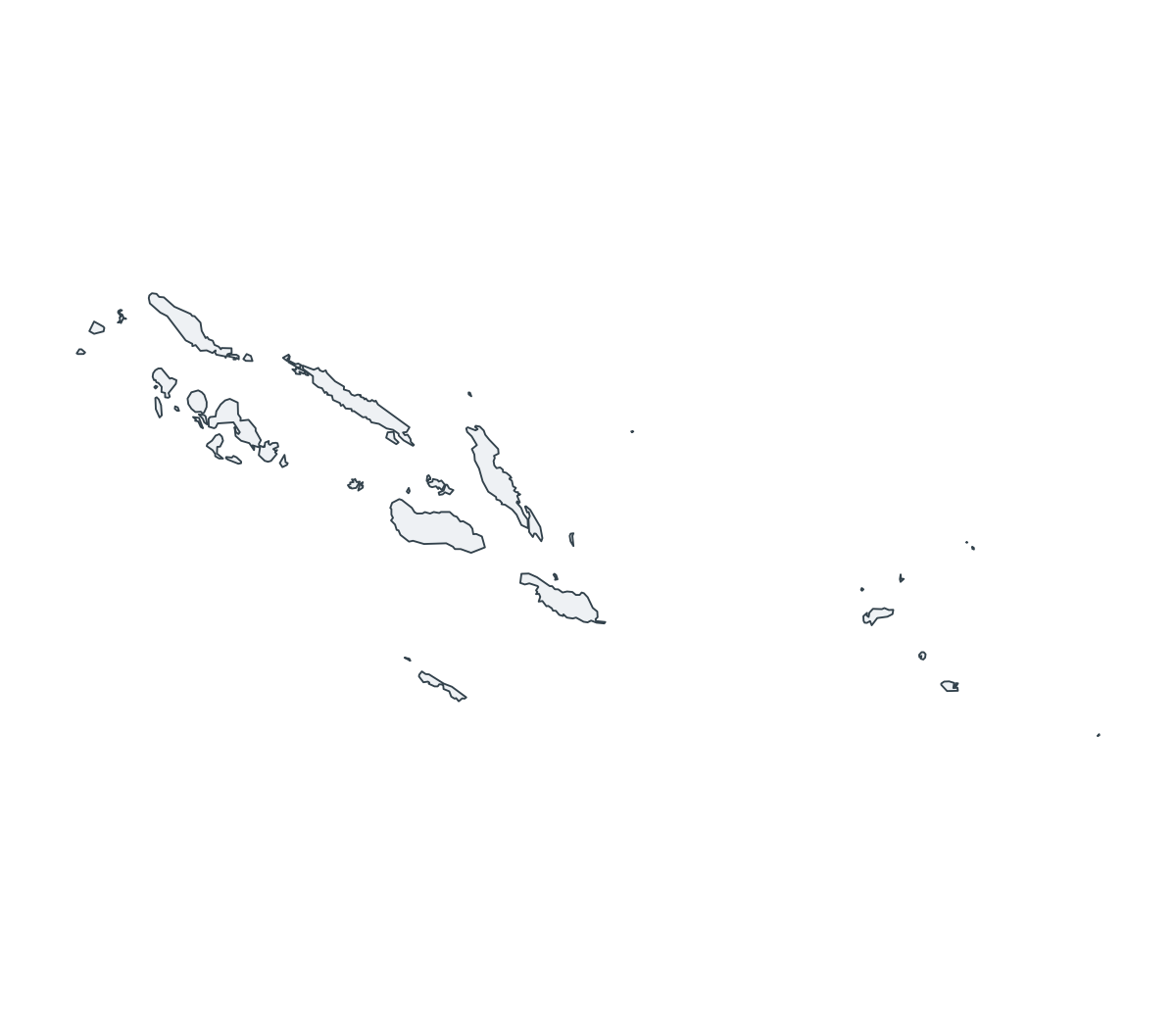
Solomon Islands Outline Map

Tuvalu Outline Map
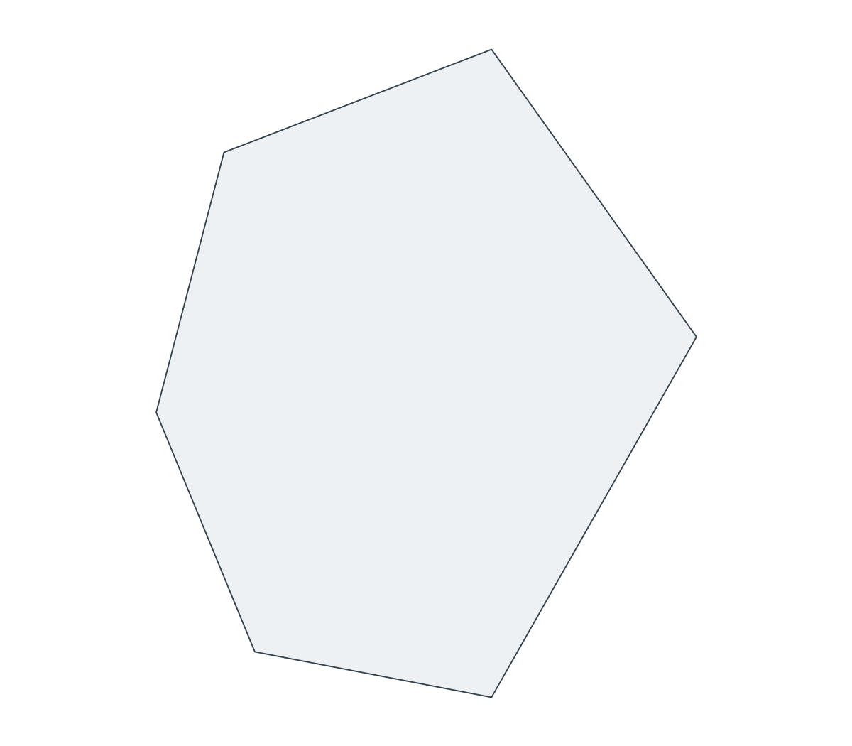
Nauru Outline Map

Federated States of Micronesia Outline Map
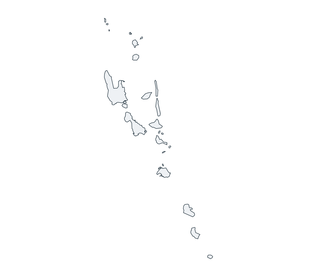
Vanuatu Outline Map
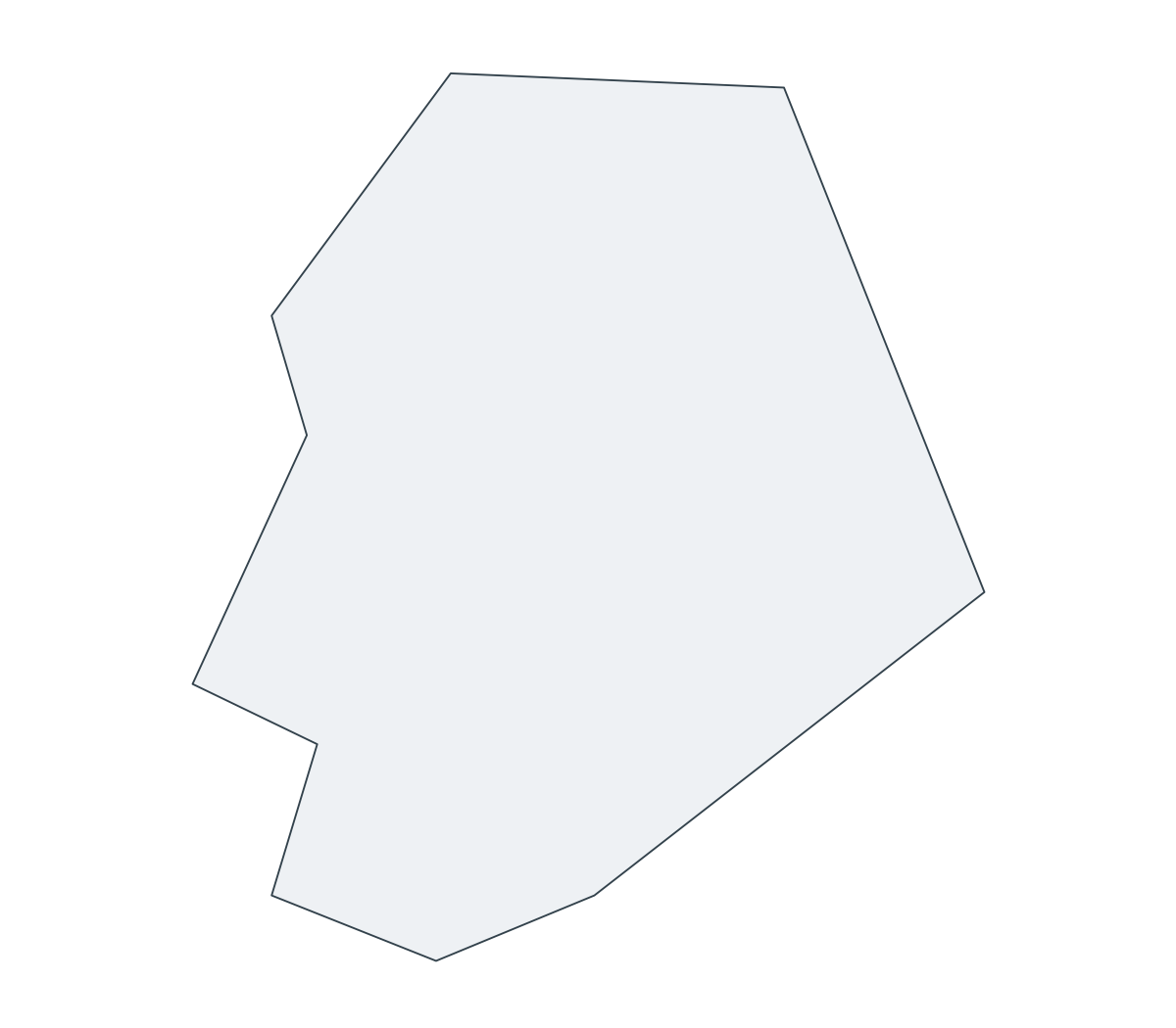
Niue Outline Map

American Samoa Outline Map

Palau Outline Map
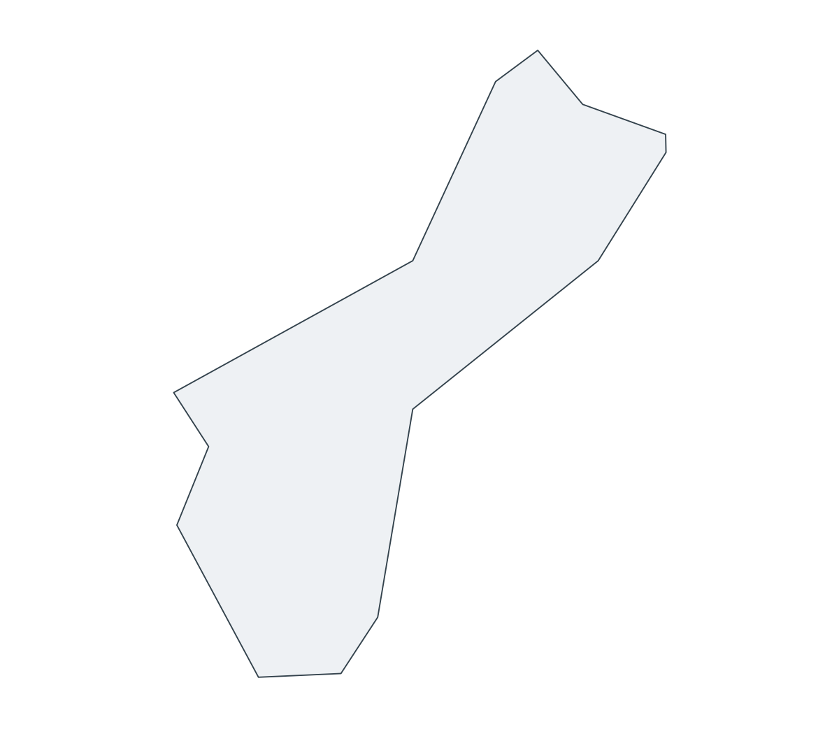
Guam Outline Map

Northern Mariana Islands Outline Map
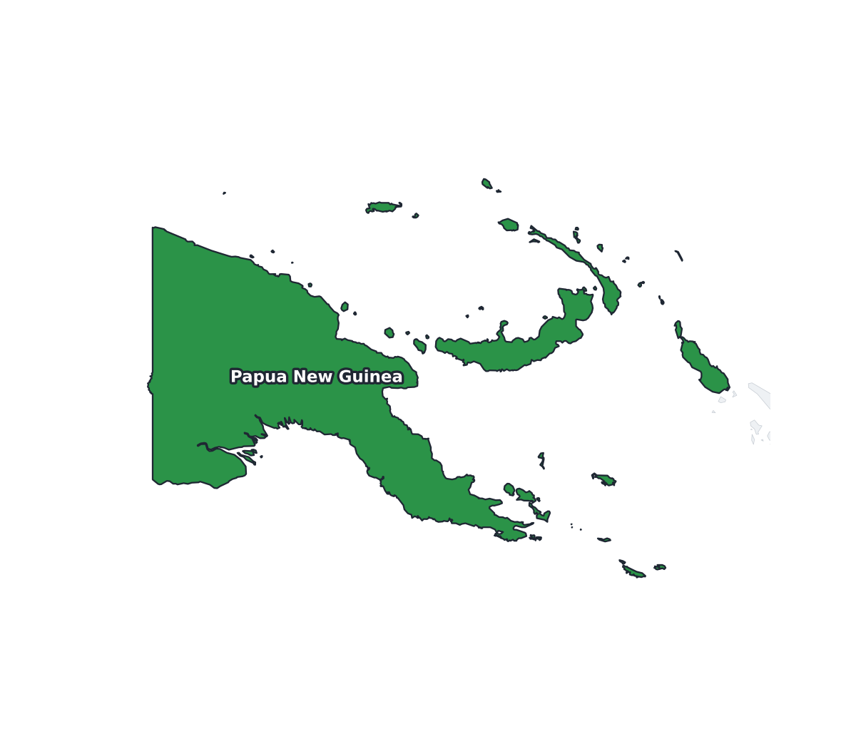
Papua New Guinea Labeled Map
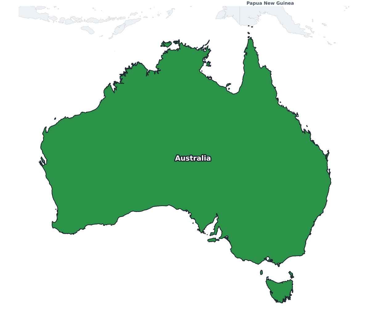
Australia Labeled Map
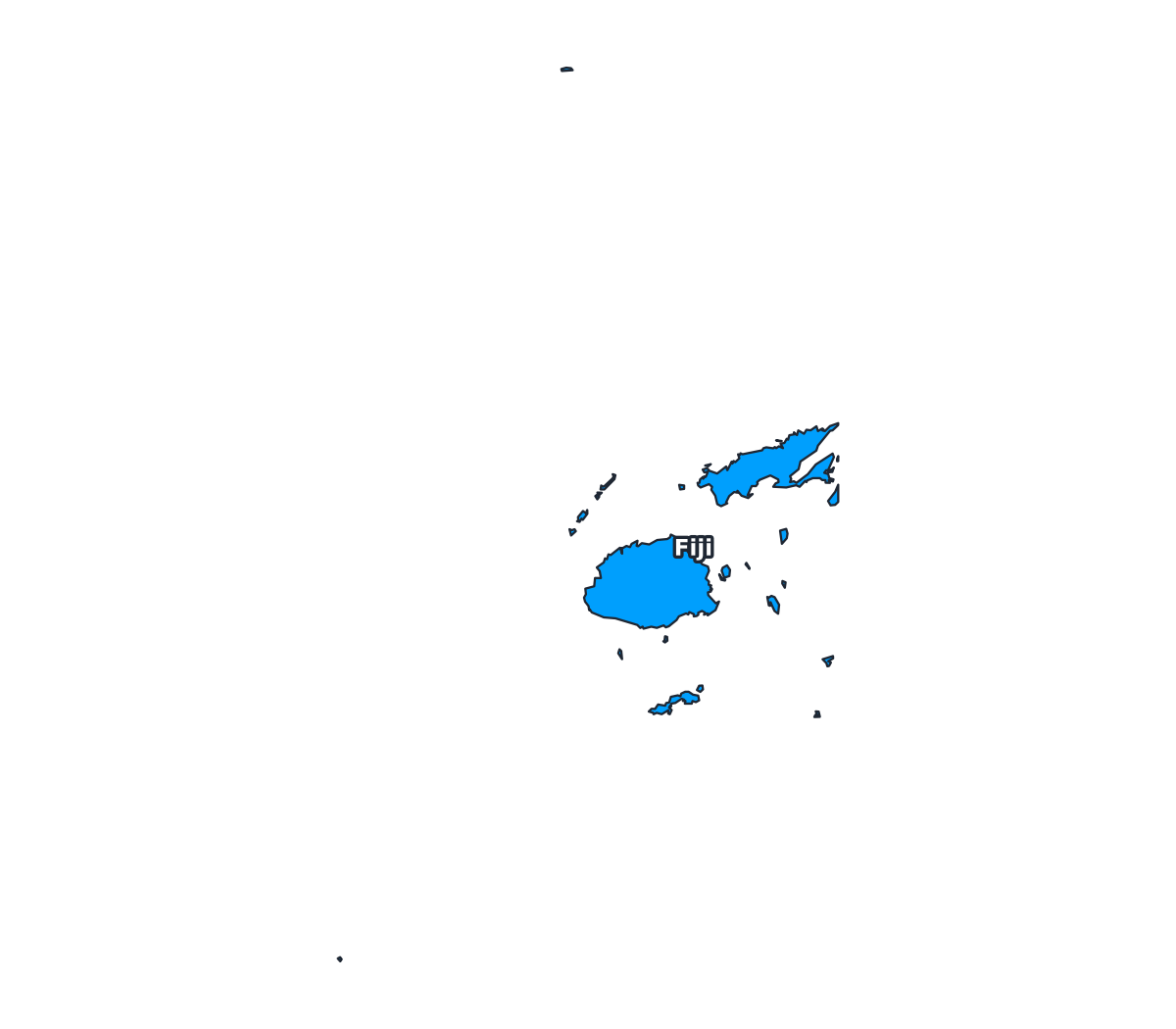
Fiji Labeled Map
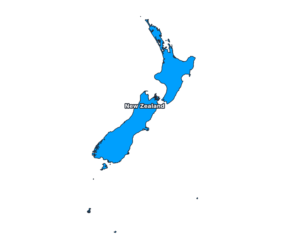
New Zealand Labeled Map
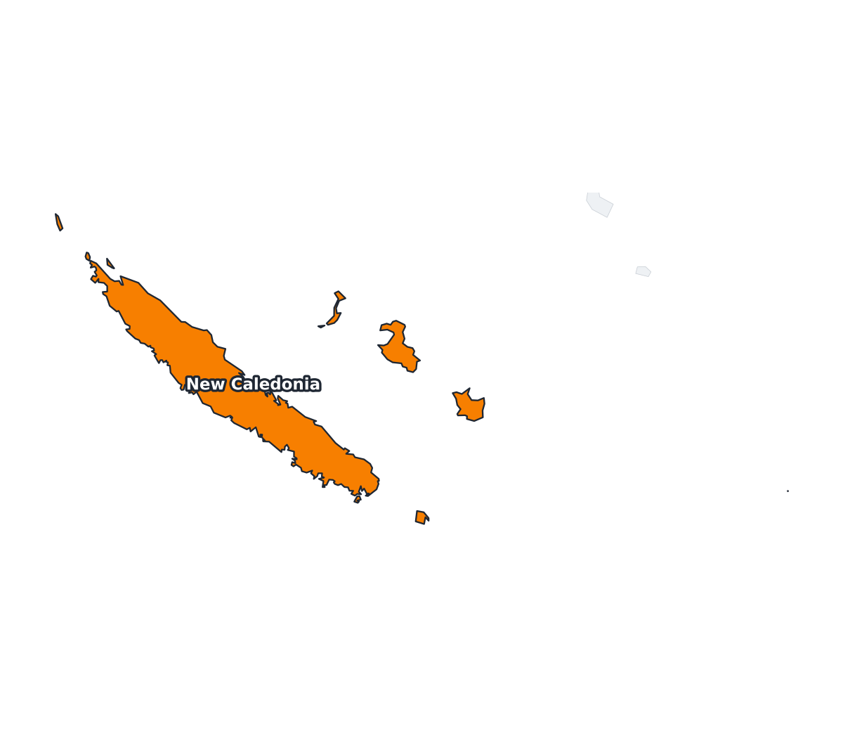
New Caledonia Labeled Map

Pitcairn Islands Labeled Map
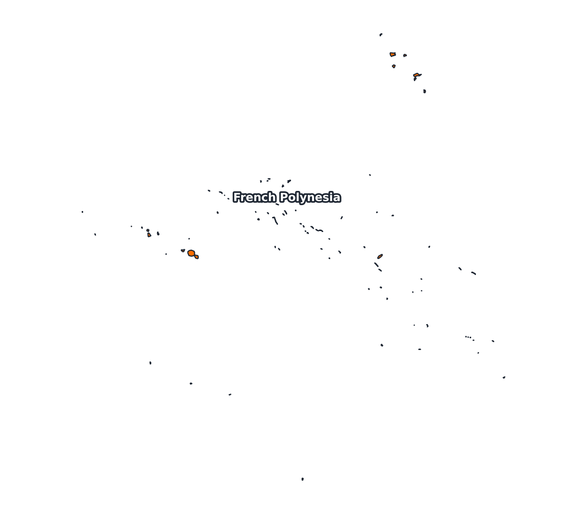
French Polynesia Labeled Map
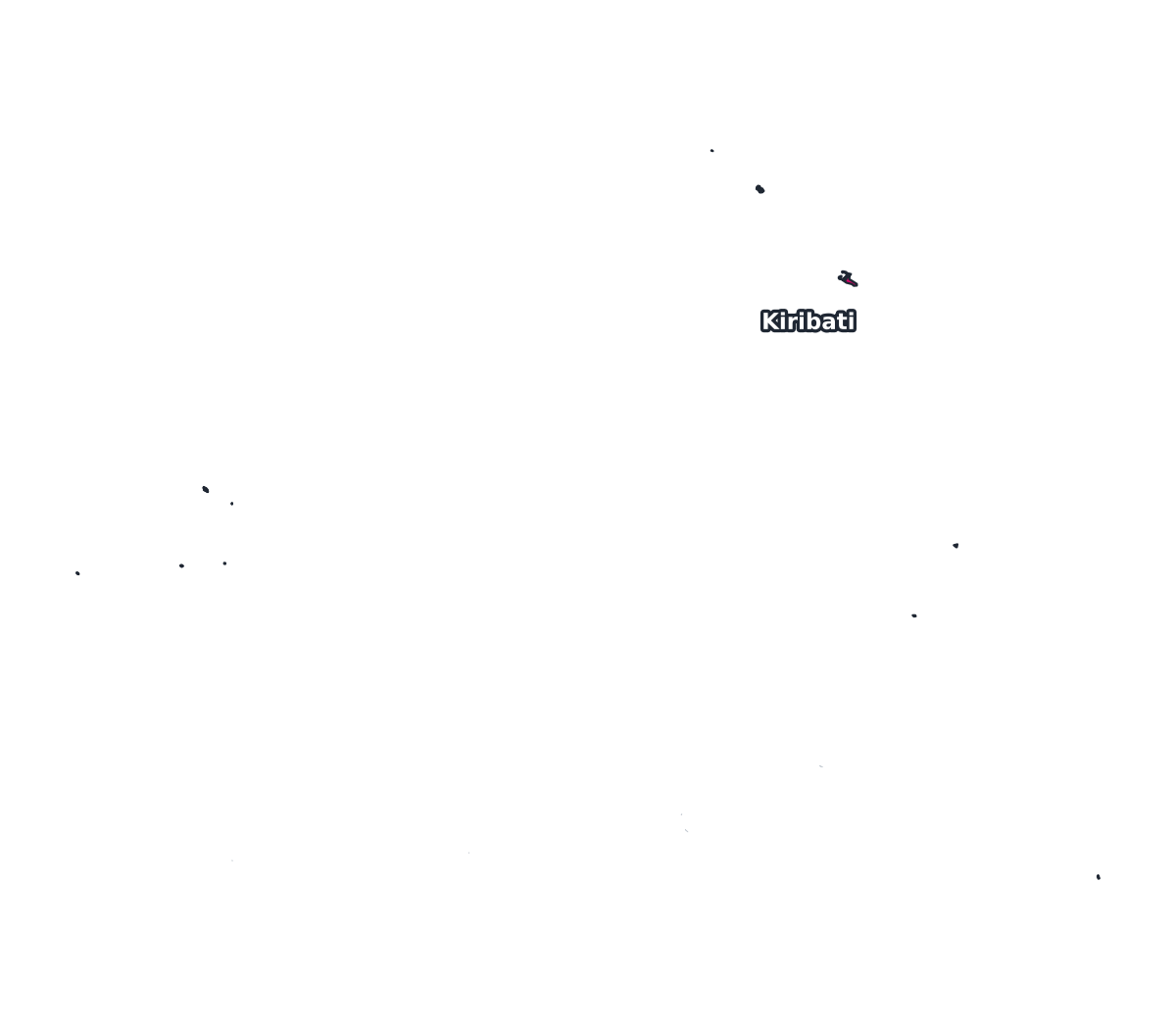
Kiribati Labeled Map

Marshall Islands Labeled Map
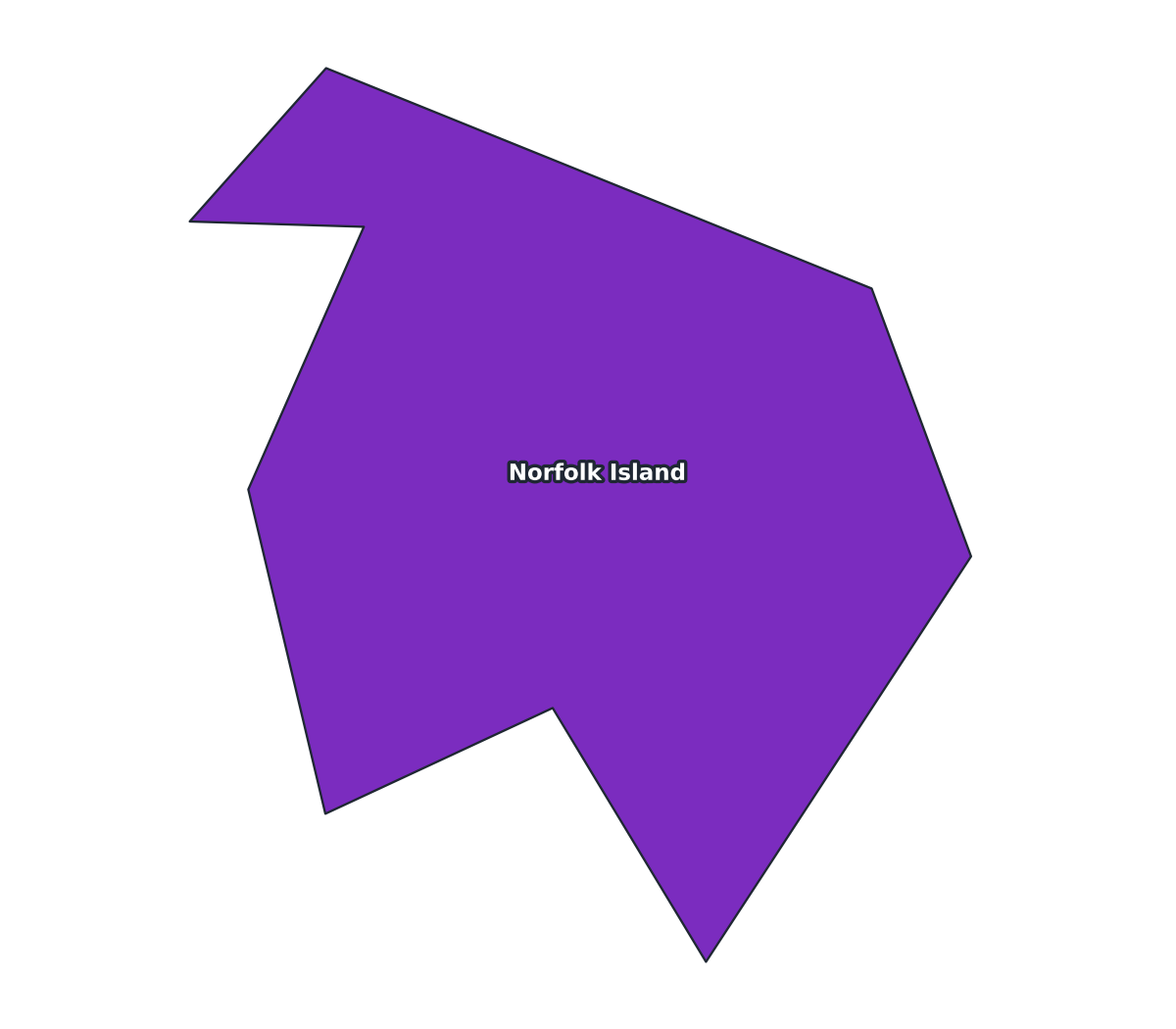
Norfolk Island Labeled Map

Cook Islands Labeled Map
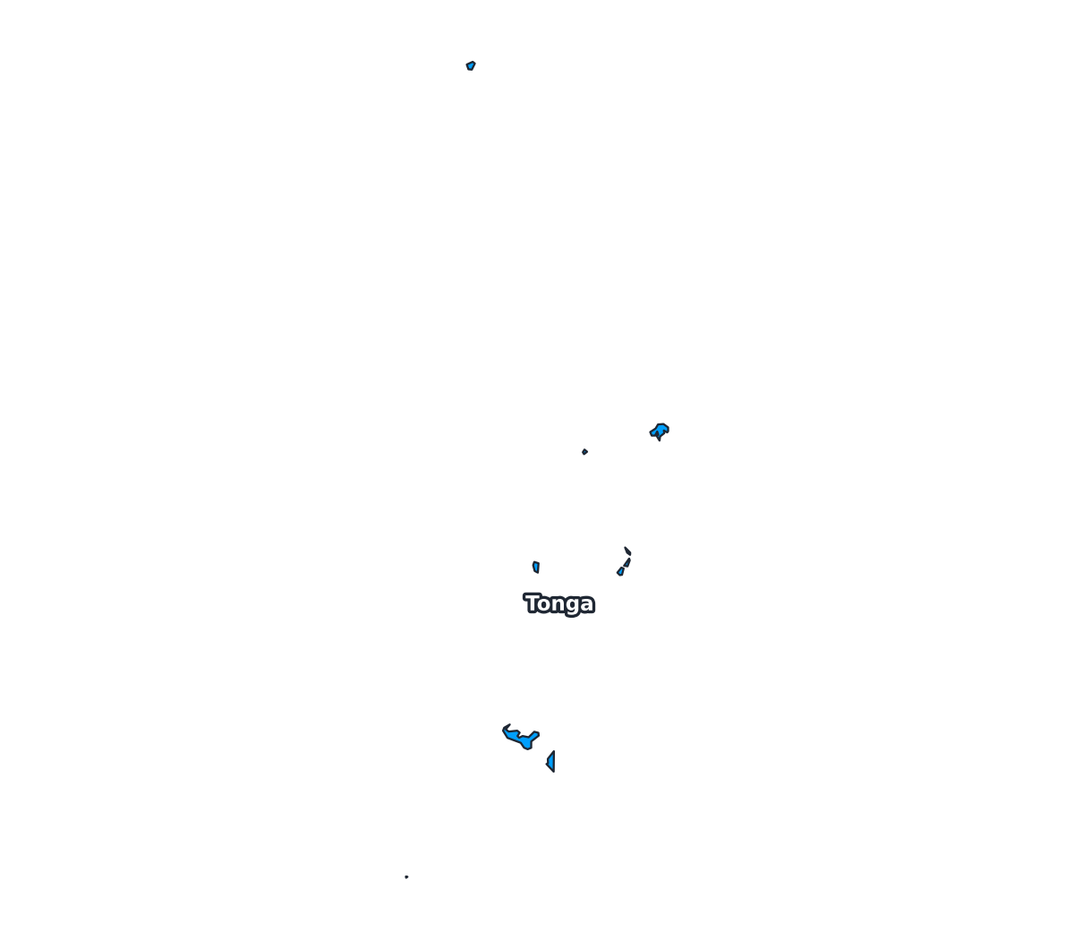
Tonga Labeled Map
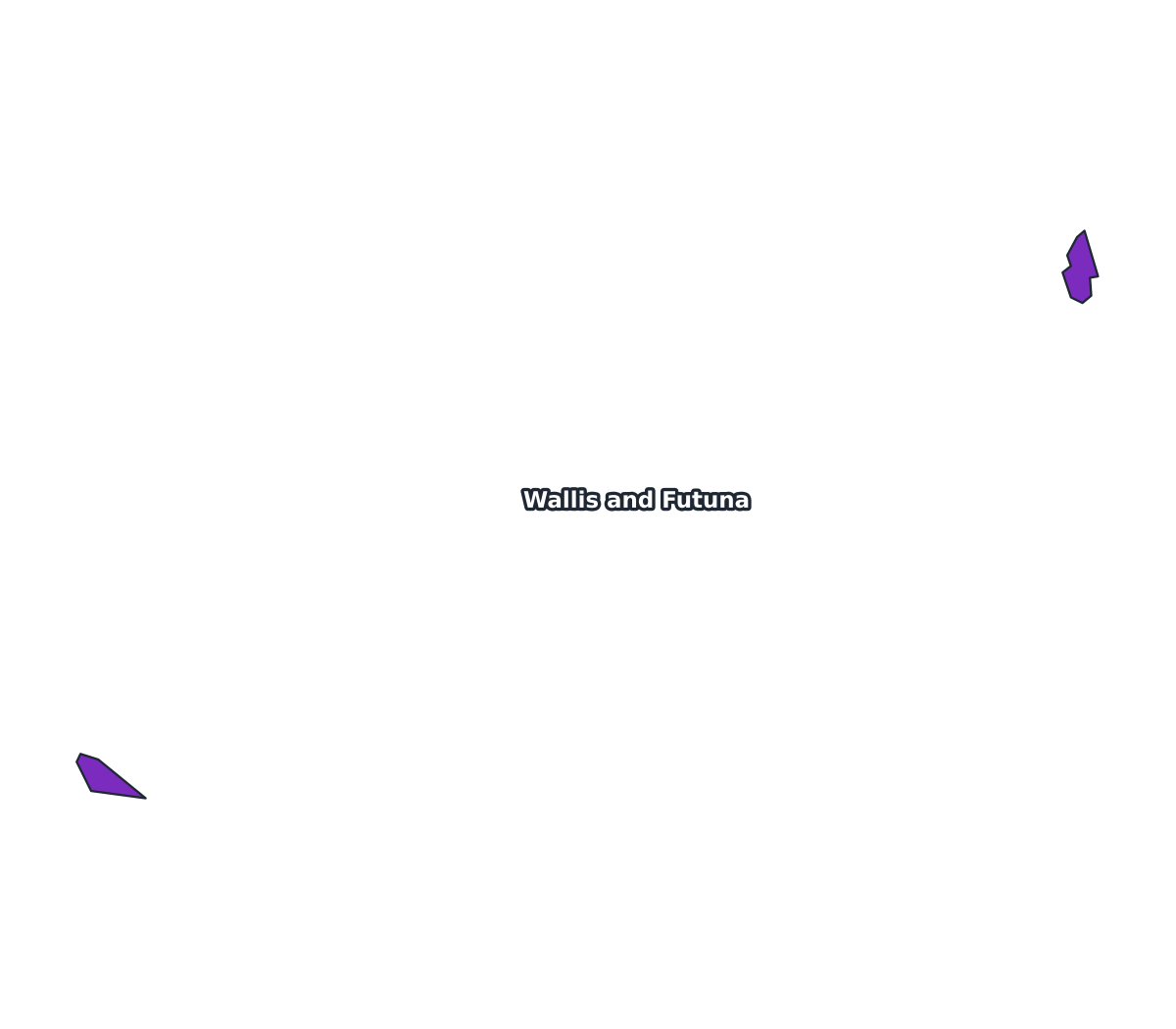
Wallis and Futuna Labeled Map
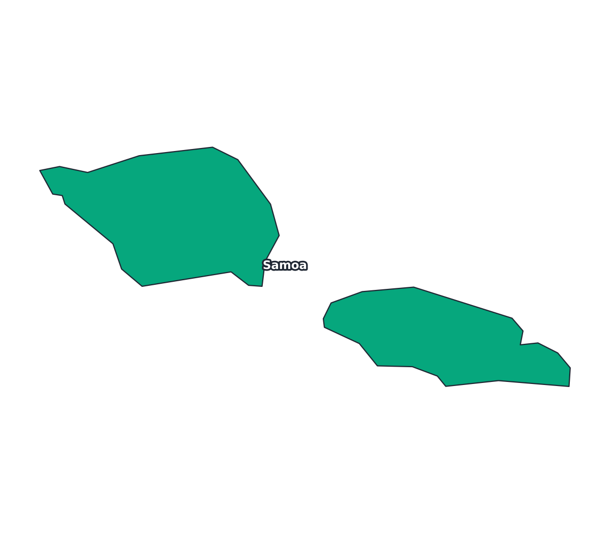
Samoa Labeled Map
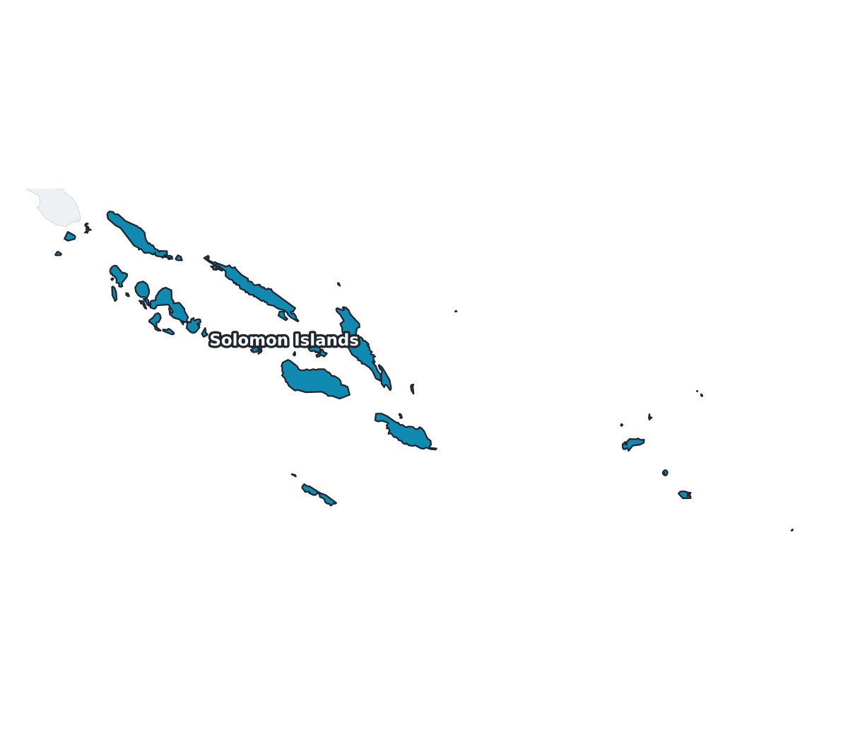
Solomon Islands Labeled Map
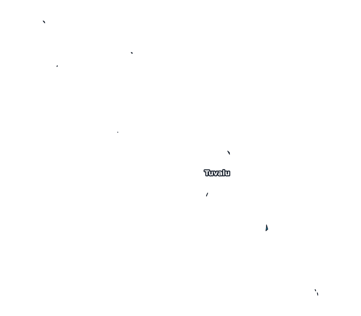
Tuvalu Labeled Map
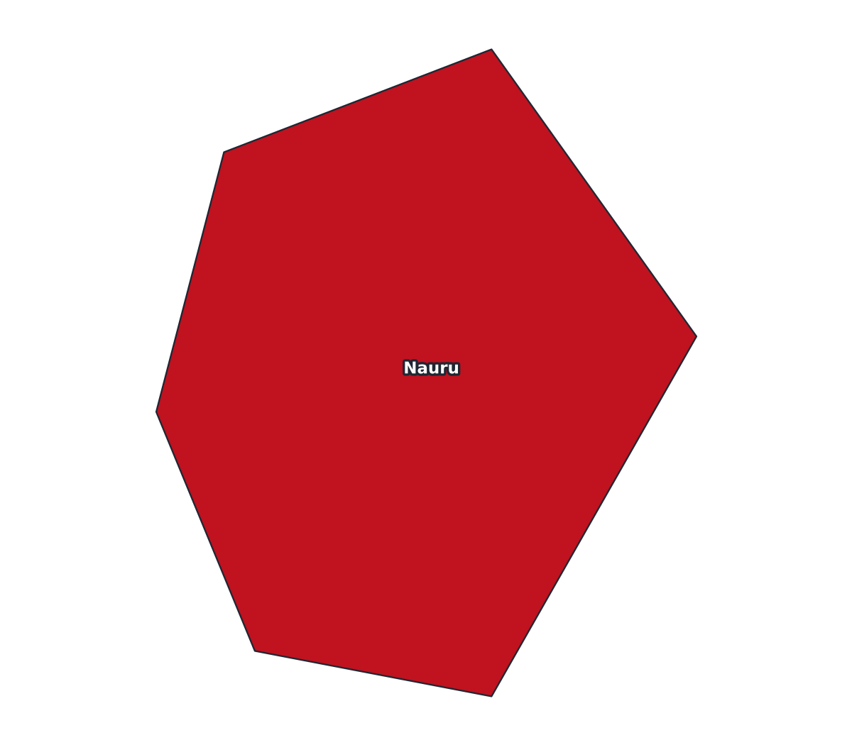
Nauru Labeled Map
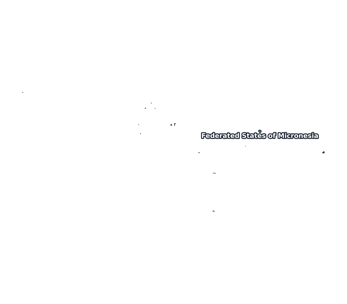
Federated States of Micronesia Labeled Map
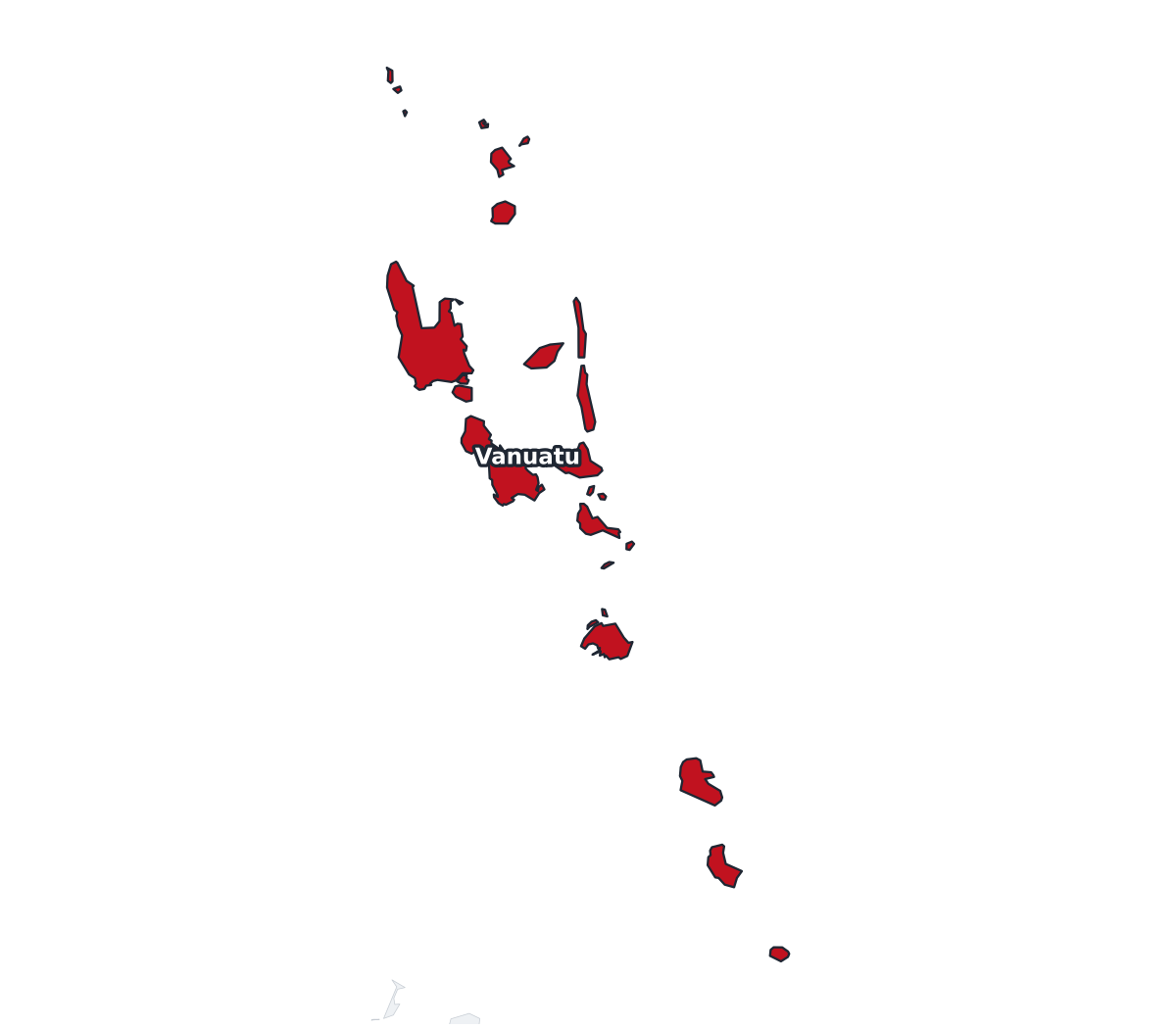
Vanuatu Labeled Map
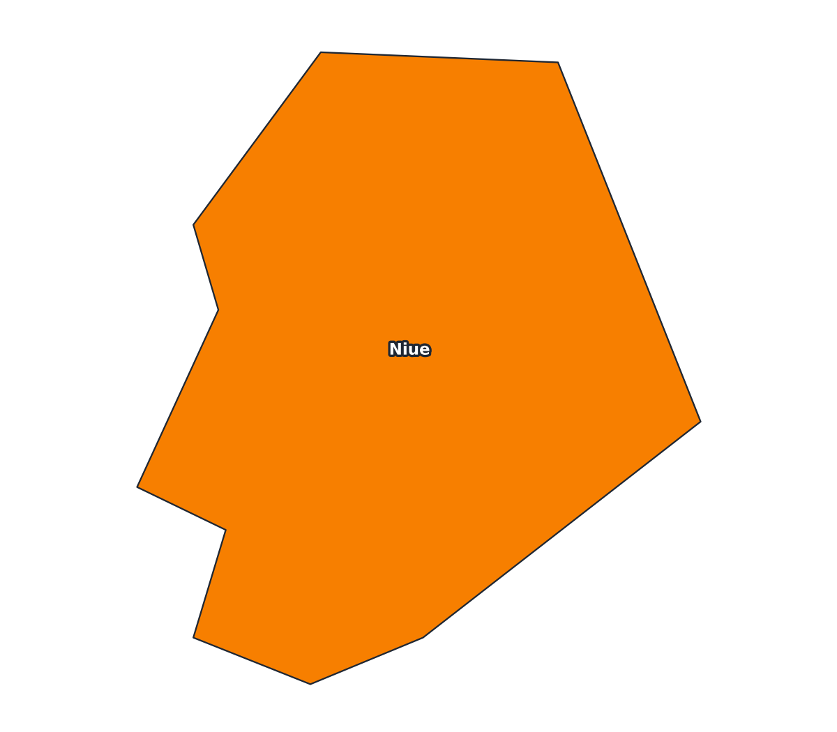
Niue Labeled Map
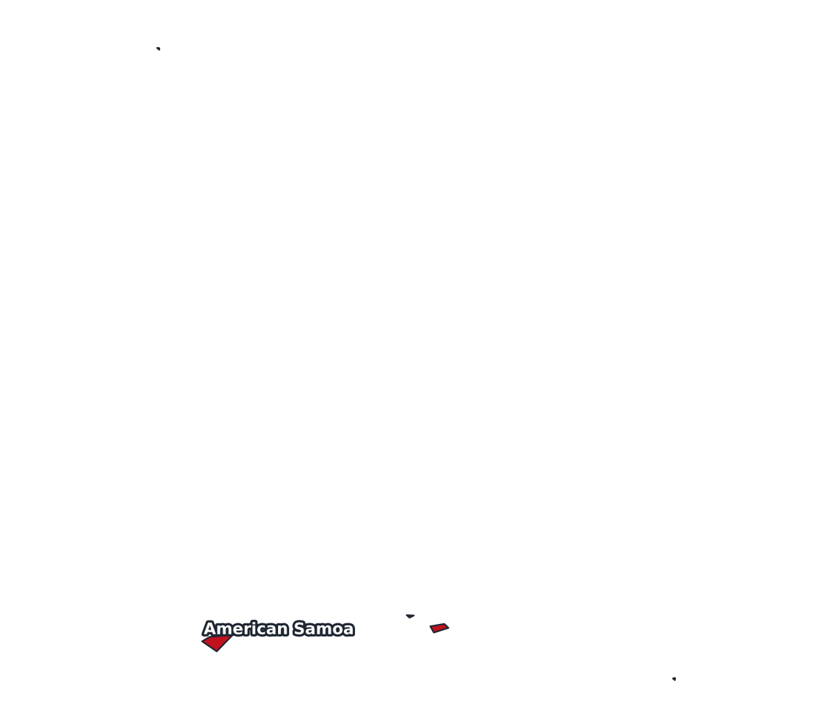
American Samoa Labeled Map
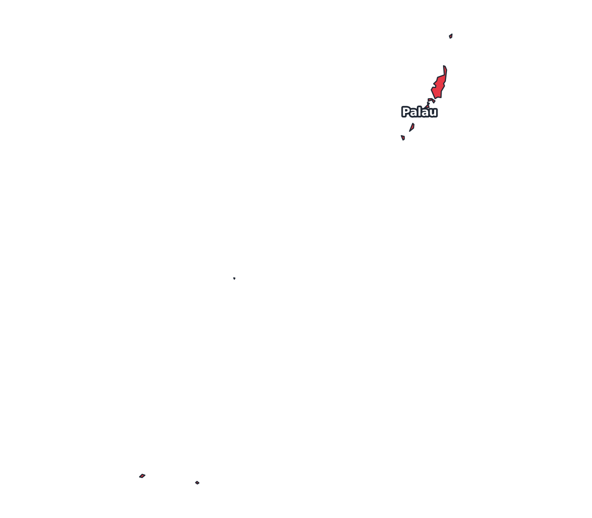
Palau Labeled Map
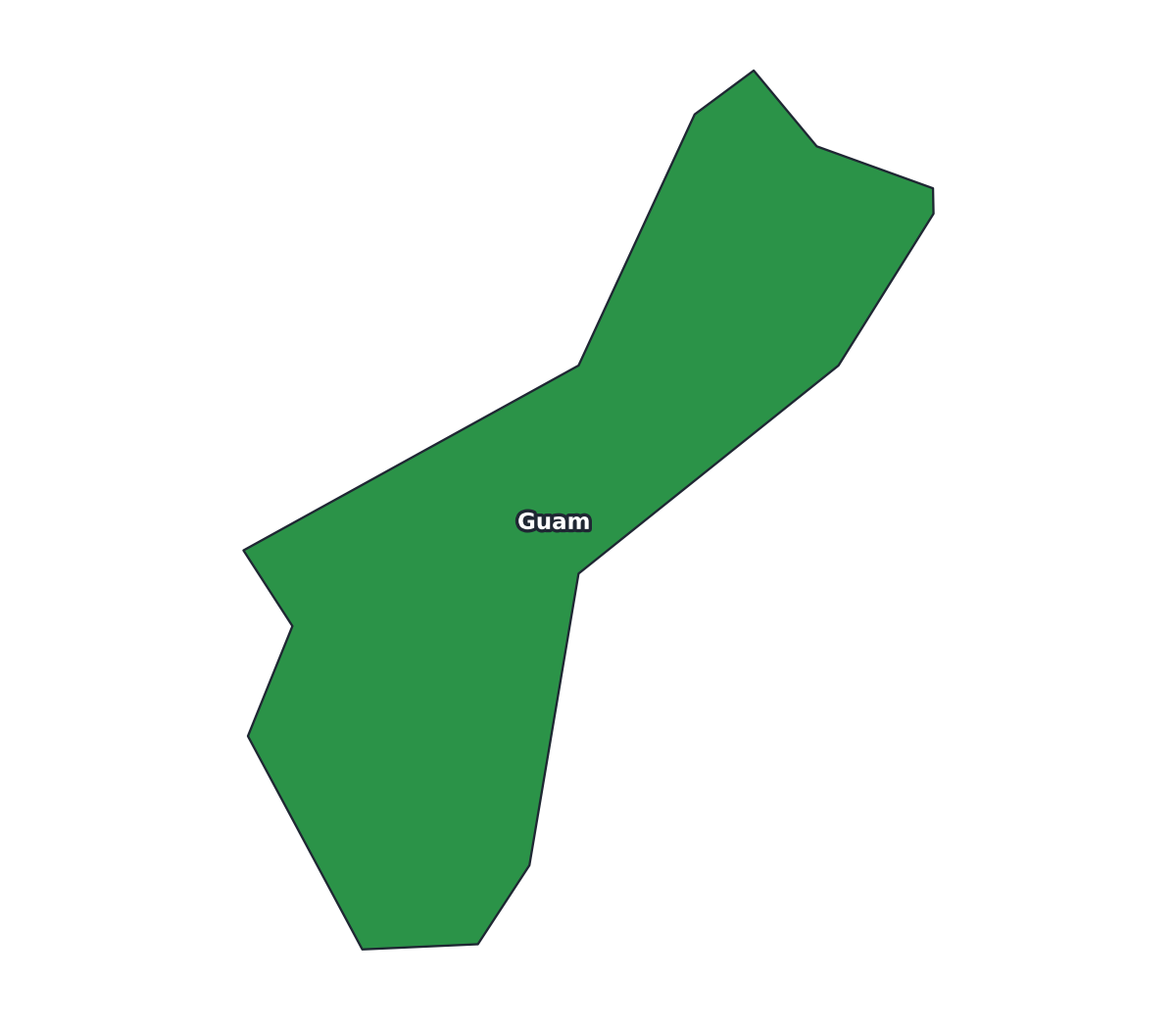
Guam Labeled Map
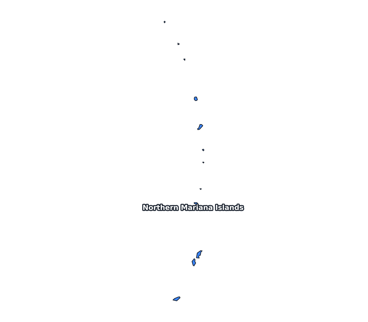
Northern Mariana Islands Labeled Map